You are using an outdated browser. Please
upgrade your browser to improve your experience.

More than 4500 aeronautical charts of asian aerodromes (Bangladesh, Hong Kong, India, Indonesia, Japan, Macau, Malaysia, Mongolia, Philippines, South Korea, Taiwan and Thailand)

AeroChart Asia
by DataAppz, Inc.
What is it about?
More than 4500 aeronautical charts of asian aerodromes (Bangladesh, Hong Kong, India, Indonesia, Japan, Macau, Malaysia, Mongolia, Philippines, South Korea, Taiwan and Thailand).
AeroChart Asia is FREE but there are more add-ons
-
$14.99
Premium Version
App Screenshots
App Store Description
More than 4500 aeronautical charts of asian aerodromes (Bangladesh, Hong Kong, India, Indonesia, Japan, Macau, Malaysia, Mongolia, Philippines, South Korea, Taiwan and Thailand).
AeroChart Asia is an application designed for pilots and aviation enthusiasts. It is a pioneer in the segment.
AeroChart Asia is an aggregator and content organizer, focused on commercial aviation, which aids in navigation and allows the visualization of navigation charts.
This app facilitates access of pilots to charts - formerly accomplished via PDF through generic readers . Adapted for mobile device access just getting more practical and organized.
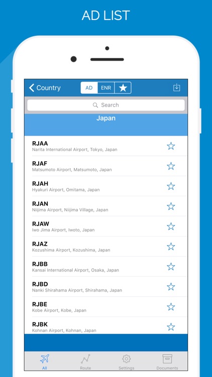
Available charts of 500 aerodromes in the following standards :
AD
• ADC ( Aerodrome Chart )
• AOC ( Aerodrome Obstacle Chart )
• ARC ( Area Chart )
• ATCSMAC ( Air Traffic Control Surveillance Minimum Altitude Chart )
• GMC ( Ground Movement Chart )
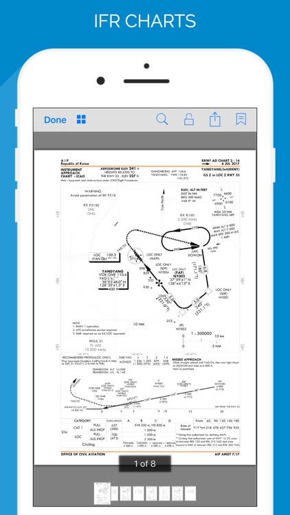
• IAC ( Instrument Approach Chart )
• LC ( Landing Chart )
• PATC ( Precision approach terrain chart )
• PDC ( Aircraft Parking/Docking Chart )
• SID ( Standard instrument departure )
• STAR ( Standard instrument arrival )
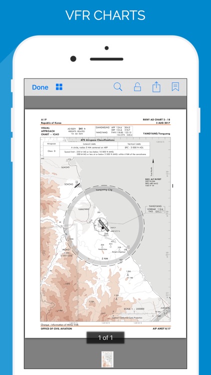
• VAC ( Visual Approach Chart )
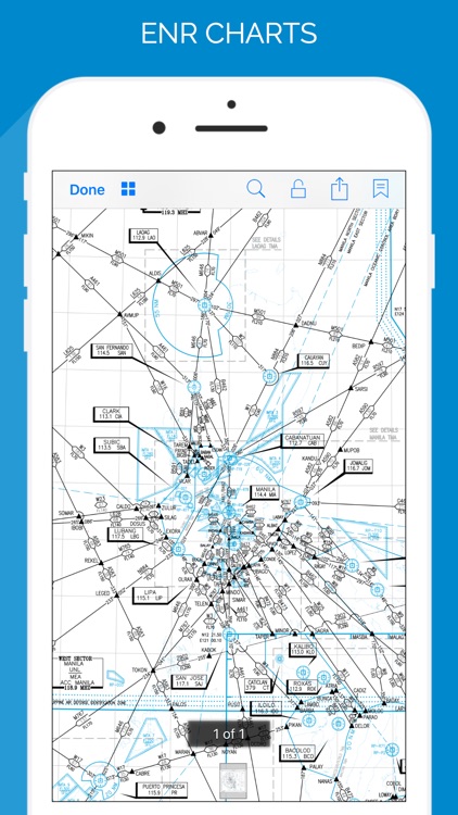
ENR
• Routes
ROUTES
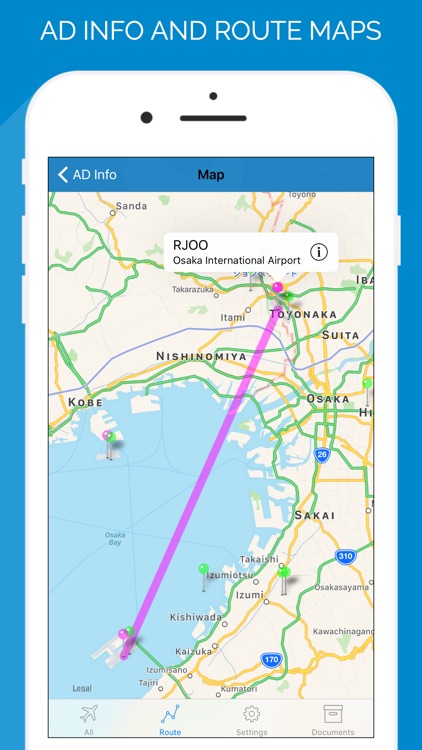
• Enter your aerodrome of origin, destination and alternate for better organization and to be able to download aeronautical charts easily. The route will be shown on maps.
DOCUMENTS
• Integration with the DropBox. Link your Dropbox account, and all the PDFs you place in the Apps / AeroChart cloud folder are automatically displayed in the list of documents in AeroChart. It is necessary to download the documents to be able to use without internet.
Free Version:
• Filter by Country
• Search Airfields by ICAO code, city or name
• Search by Description of Charts
• Allows you to zoom in Chart
• Allows to Print (AirPrint) or Email a chart
• Paging ( for charts with more than one page )
• Favorite airfields
Premium Version (In App Purchase):
• Removes ads
• Stores the charts on the device
• Download all the charts of aerodrome in one click
• Deletes all downloaded charts (or just a single chart - sliding left)
• Download chart updates
• Visual indicator of downloads already made
• Every 28 days aeronautical charts are updated. Users of the premium version can download the update online. Users of the free version have to wait for the application to be updated by the App Store. We hear your comments and suggestions and increase the time for ALL FREE USERS to use without interruption for the first month.
• Our thanks to users who send in suggestions. Many of the improvements made are suggested by users. As far as possible we try to implement all. If you have any suggestion, complaint, or any other communication contact support@data-appz.com. We'd love to hear your comments about the new updates. Please take a moment to leave a nice review in the App Store: it really helps.
Attention : This App should be used as an auxiliary tool in the planning phase of the flight to be conducted, not replacing the official documentation to be used by airmen during phases of flight. Requires internet access to download the charts
Disclaimer:
AppAdvice does not own this application and only provides images and links contained in the iTunes Search API, to help our users find the best apps to download. If you are the developer of this app and would like your information removed, please send a request to takedown@appadvice.com and your information will be removed.
AppAdvice does not own this application and only provides images and links contained in the iTunes Search API, to help our users find the best apps to download. If you are the developer of this app and would like your information removed, please send a request to takedown@appadvice.com and your information will be removed.