You are using an outdated browser. Please
upgrade your browser to improve your experience.

Find your way around the UCI campus using your phone through AnteaterMaps

AnteaterMaps
by Mei Fang Perng

What is it about?
Find your way around the UCI campus using your phone through AnteaterMaps! It's an easy way to get to your upcoming classes and find specific buildings.
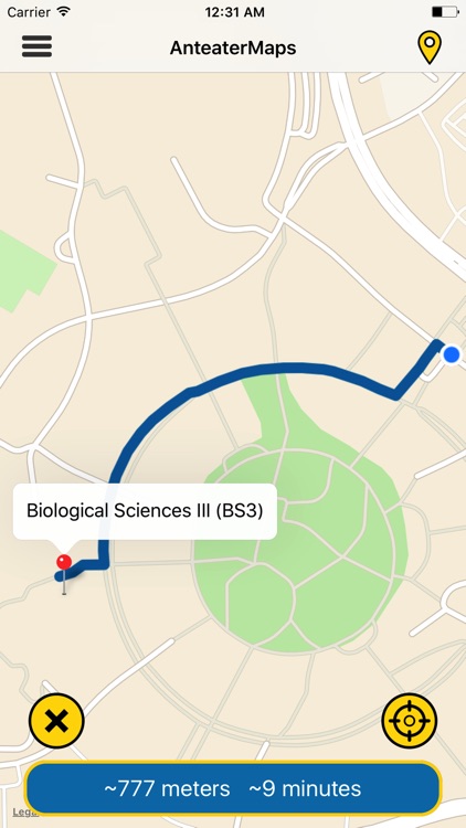
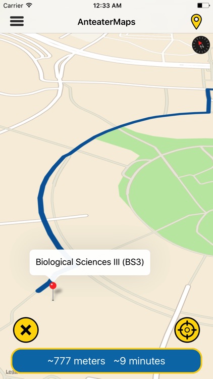
App Screenshots
App Store Description
Find your way around the UCI campus using your phone through AnteaterMaps! It's an easy way to get to your upcoming classes and find specific buildings.
Features:
- Interactive map where you can rotate, zoom, and view in 3D
- Select from over 250 destinations on campus
- Search with filters like Classrooms, Offices, and Other
- Display walking distance and estimated travel time
- Provides visual path that updates when you walk through campus
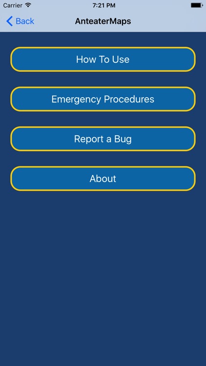
- Links to UCI's Police Department website for emergency procedures
- Report a bug or submit a new location to be added in the app
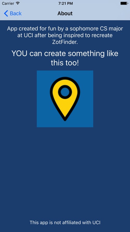
Made by a sophomore student at UCI after being inspired to recreate ZotFinder.
Note: Make sure to enable location services.
Disclaimer:
AppAdvice does not own this application and only provides images and links contained in the iTunes Search API, to help our users find the best apps to download. If you are the developer of this app and would like your information removed, please send a request to takedown@appadvice.com and your information will be removed.
AppAdvice does not own this application and only provides images and links contained in the iTunes Search API, to help our users find the best apps to download. If you are the developer of this app and would like your information removed, please send a request to takedown@appadvice.com and your information will be removed.