You are using an outdated browser. Please
upgrade your browser to improve your experience.

C-MAP has developed the ultimate navigation and planning tool for today’s “mobile” society

C-MAP Plan2Nav
by C-MAP Italy s.r.l
What is it about?
C-MAP has developed the ultimate navigation and planning tool for today’s “mobile” society. From passionate, experienced boaters to casual travelers, Plan2Nav helps you receive more enjoyment from your time on the water, everywhere around the world.
App Details
Version
1.6.10
Rating
(122)
Size
52Mb
Genre
Navigation Travel
Last updated
November 5, 2018
Release date
March 30, 2011
More info
C-MAP Plan2Nav is FREE but there are more add-ons
-
$29.99
Usa east coast and bahamas
-
$29.99
Usa East Coast and Bahamas
-
$39.99
USA EAST COAST AND BAHAMAS
-
$29.99
Usa East Coast and Bahamas
-
$29.99
Usa East Coast and Bahamas
-
$29.99
Usa East Coast and Bahamas
-
$19.99
Usa west coast and hawaii
-
$19.99
Usa West Coast and Hawaii
-
$29.99
Central America and Caribbean
-
$29.99
Central america and caribbean
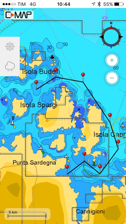
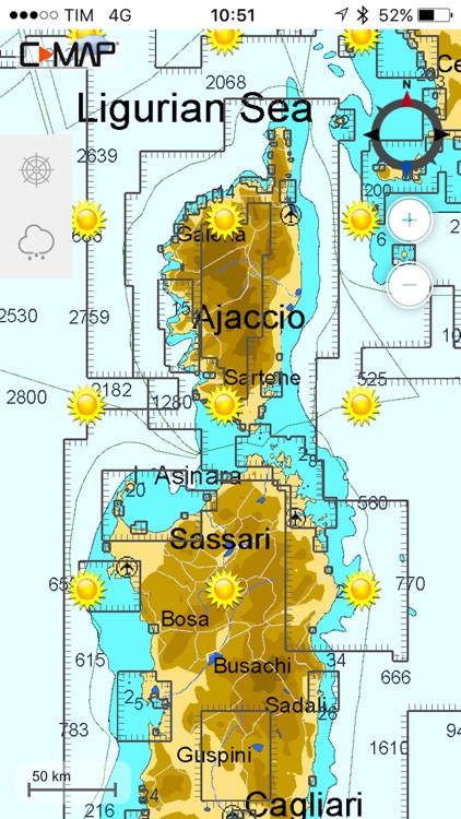
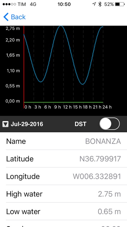
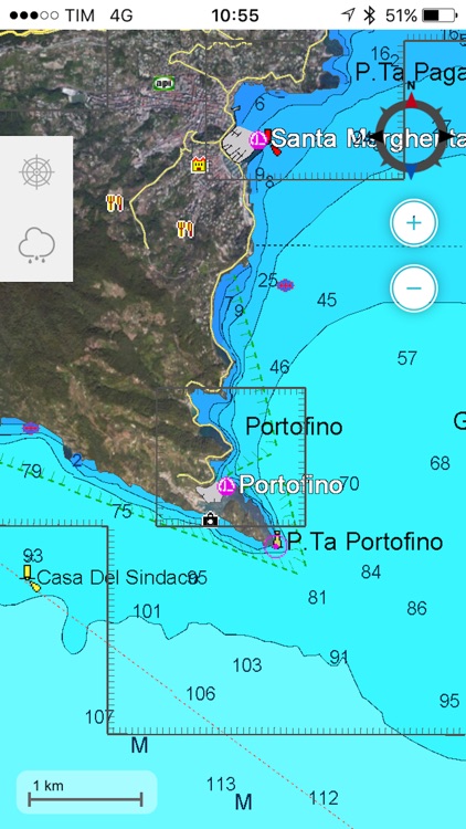
App Screenshots

App Store Description
C-MAP has developed the ultimate navigation and planning tool for today’s “mobile” society. From passionate, experienced boaters to casual travelers, Plan2Nav helps you receive more enjoyment from your time on the water, everywhere around the world.
Are you ready to map?
Our exclusive free app includes outstanding worldwide background charts, so you can start planning your journey right away! Plan your next cruise, set routes, look for marinas along your voyage or even share the tracks of your last adventure…these are just some of the things you can do with Plan2Nav.
Advanced navigation features
Like a “handheld chartplotter,” Plan 2Nav lets you:
-View charts in “birds eye” Perspective View
-Enable GPS to track Speed Over Ground (SOG), Course Over Ground (COG) and Estimated Time of Arrival (ETA).*
-Create and edit routes
-View GPS tracks
-Download free weather for a five-day forecast overlaid onto the chart
-Select North Up or Course Up orientation for a fully rotating vector visualization
-View Clock, Compass and set Distance Units
Complete the Journey - Upgrade to full C-MAP cartography
Purchase affordable, expansive map coverage to unlock the full potential of Plan2Nav. Benefit from the features and award-winning technology that have made C-MAP the choice of more than 1 million boaters worldwide:
-NavAids
-Detailed Harbor Charts
-Exclusive Aerial Photos and Diagrams
-C-Marina Ports Database
-Dynamic Tides and Current Predictions
-Depth Contours and Land Elevations
Once downloaded, these feature-packed maps stay recorded on the device and are always accessible – even when no wireless connection is available
* Continued use of GPS running in background can reduce battery life
Video Tutorial:
http://www.youtube.com/watch?v=JU32ObxRW-M&feature=youtu.be
Disclaimer:
AppAdvice does not own this application and only provides images and links contained in the iTunes Search API, to help our users find the best apps to download. If you are the developer of this app and would like your information removed, please send a request to takedown@appadvice.com and your information will be removed.
AppAdvice does not own this application and only provides images and links contained in the iTunes Search API, to help our users find the best apps to download. If you are the developer of this app and would like your information removed, please send a request to takedown@appadvice.com and your information will be removed.