You are using an outdated browser. Please
upgrade your browser to improve your experience.
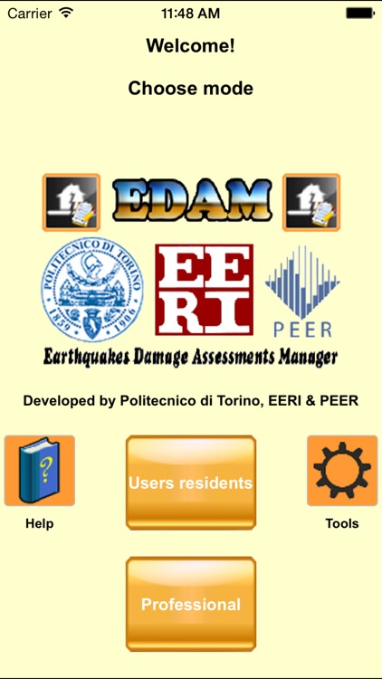
The easiest and fastest way to manage earthquakes damage assessments, for residents and professional users

EDAM Earthquakes Damage Assessments Manager
by Gian Paolo Cimellaro
What is it about?
The easiest and fastest way to manage earthquakes damage assessments, for residents and professional users.
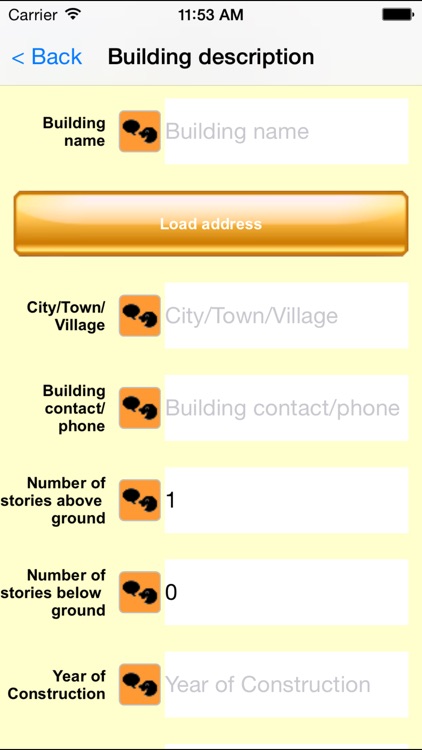
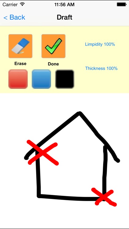
App Screenshots
App Store Description
The easiest and fastest way to manage earthquakes damage assessments, for residents and professional users.
One common scenario during disasters is that the activity of rescue and relief is not well-coordinated.
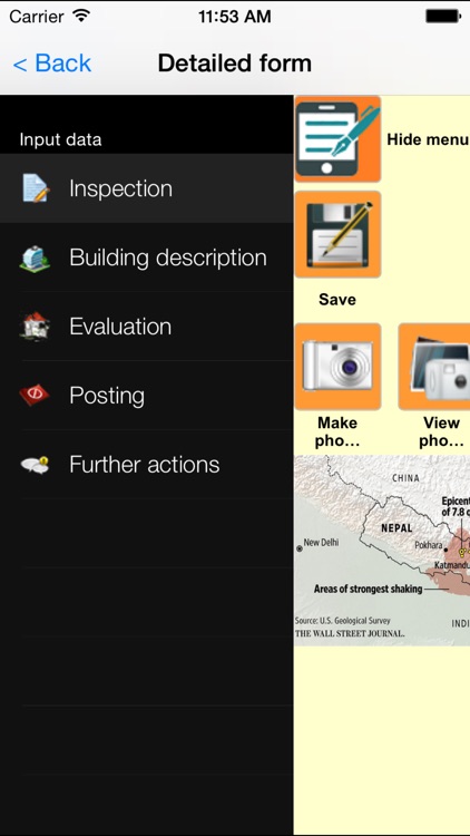
Specialists and technicians from various regions perform the earthquake damage assessment of residential buildings or shed right after the earthquake using printed forms to collect field data from the visual inspections, but a critical component of any successful rescue operation is time.
Immediate knowledge of the precise location of landmarks, streets, buildings, emergency service resources, and disaster relief sites saves time – and saves lives. Such information is critical to disaster relief teams and public safety personnel to protect life and reduce property loss. Therefore, there is a need for a system that will improve the efficient resources allocation of rescue and relief in the disaster-affected areas “Mobile devices” and “Resilience” are two terms that nowadays regularly appear in the emergency management field.
This app is the solution for these needs.
Residents could report incidents and receive emergency information that would facilitate coordinated responses with emergency services. They could employ mobile devices like smartphones to provide information, GIS coordinates and pictures. Multiple platforms (mobile devices, Internet) and content types (text, pics, video) ensure that community response grids will function with surviving infrastructure during and after an emergency, while supporting two-way communications among residents and responders. Professional emergency responders could be collecting information, residents could be reporting and receiving information via website, and communities could be sharing information simultaneously to respond to a crisis of any magnitude. Professional staff could separate out suspicious or low priority reports, assigning appropriate resources to the major problems and then automatically fill any form they need, like AeDES form. In this way it’s possible to collect all the informations quickly and automatically, with an easy mechanism for sending them.
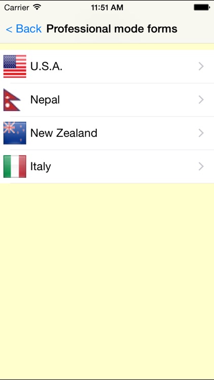
This application is currently available for residents with the User residents mode, and for professional emergency responders with the other modes.
Disclaimer:
AppAdvice does not own this application and only provides images and links contained in the iTunes Search API, to help our users find the best apps to download. If you are the developer of this app and would like your information removed, please send a request to takedown@appadvice.com and your information will be removed.
AppAdvice does not own this application and only provides images and links contained in the iTunes Search API, to help our users find the best apps to download. If you are the developer of this app and would like your information removed, please send a request to takedown@appadvice.com and your information will be removed.