You are using an outdated browser. Please
upgrade your browser to improve your experience.

Create, import, export tracks with waypoints

GPS Tracker, Offline Maps
by SERGEY BEZDENEZHNYKH
What is it about?
Create, import, export tracks with waypoints. Supports offline maps, no time limits, no ads, no in-app purchases.
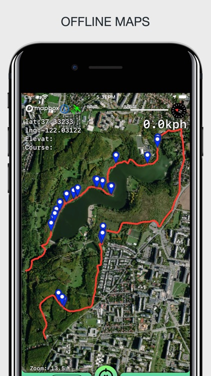
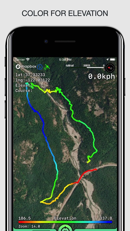
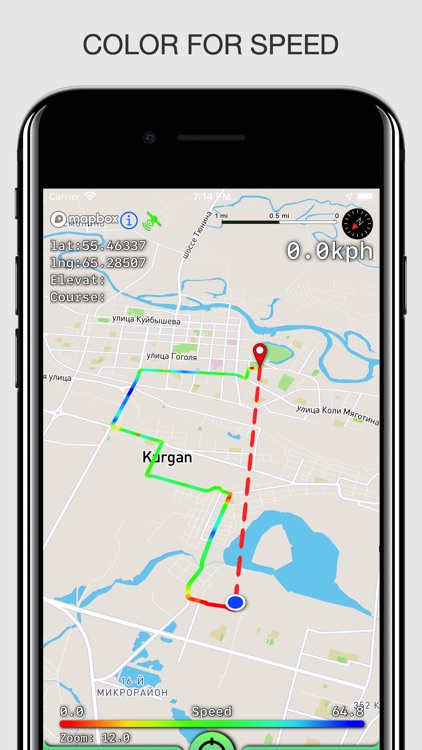
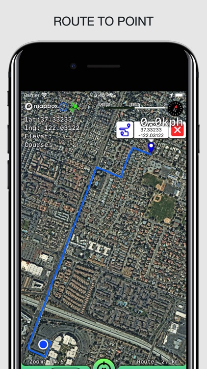
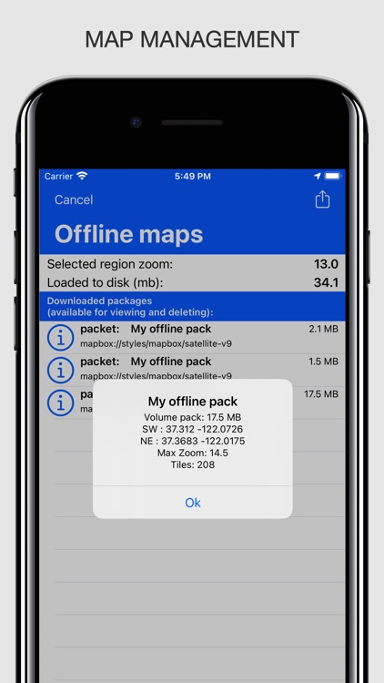
App Screenshots

App Store Description
Create, import, export tracks with waypoints. Supports offline maps, no time limits, no ads, no in-app purchases.
The main functions of the application:
- loading and unlimited storage of maps of the travel area.
- built-in barometer and pedometer running in the background when the application is closed.
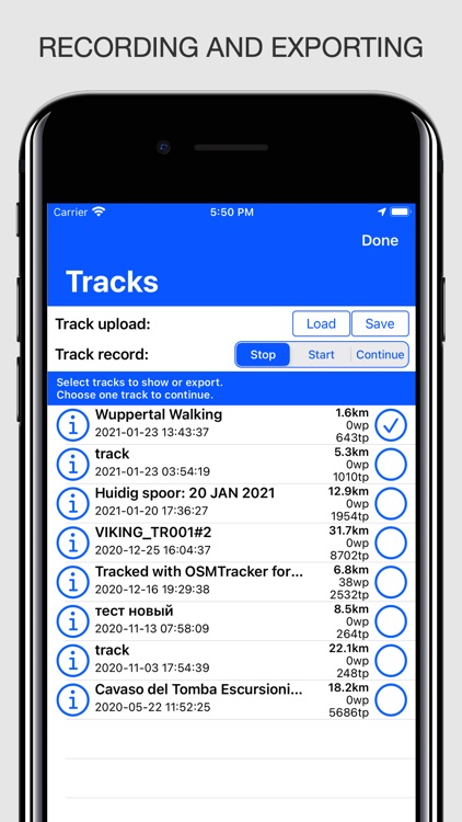
- supports all import and export methods available for your device with services, friends and applications in .gpx format.
- color gradient for speed and height, if this information is in the imported track.
- color gradient for speed and height for recorded tracks.
- recording speed and altitude in the track.
- extended track information: average and maximum speed, track duration by time and distance, number of waypoints.
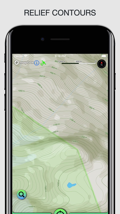
- relief lines in outdoor mode.
- different units of measurement: miles, kilometers, feet, meters.
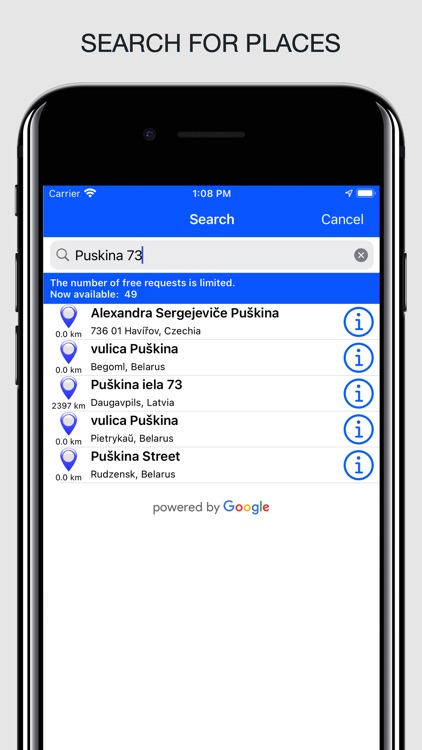
- free search for places by address or place name
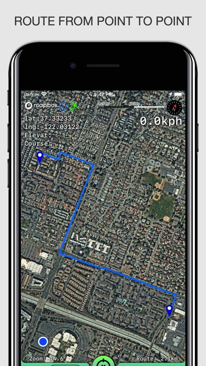
- free building routes for different driving modes (no more than 300 per month).
- storage and export of routes.
- building routes from the current position to a point or from point to point.
- the ability to record tracks in the background.
- does not contain in-app purchases, additional payments for cards, advertisements and has no time limits for use.
- viewing one or several tracks in any application mode, including the recording mode of another track.
- installation, editing, deletion of waypoints in any application mode and anywhere.
- the ability to adjust the quality of the track, distance filters, energy saving mode.
- export and import of tracks and waypoints to various services - Open Street Map and others.
- display of additional information - scale, coordinates, height, speed.
- shows the current distance traveled by the track and the travel or walk time.
- has several map styles - satellite, streets, combo and dark.
- Supports dark theme for iOS 13-14.
- easy start and stop of tracking in several ways.
- the ability to continue any previously recorded or imported track.
- several modes of map orientation - by the heading of the phone, in the direction of travel, centering and to the north.
- Possibility of tilting the map with double pinch.
- quick and easy selection and viewing of saved tracks, waypoints and maps.
- speed and altitude graphs can be scaled and scrolled.
Disclaimer:
AppAdvice does not own this application and only provides images and links contained in the iTunes Search API, to help our users find the best apps to download. If you are the developer of this app and would like your information removed, please send a request to takedown@appadvice.com and your information will be removed.
AppAdvice does not own this application and only provides images and links contained in the iTunes Search API, to help our users find the best apps to download. If you are the developer of this app and would like your information removed, please send a request to takedown@appadvice.com and your information will be removed.