You are using an outdated browser. Please
upgrade your browser to improve your experience.
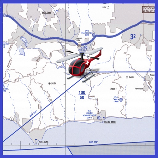
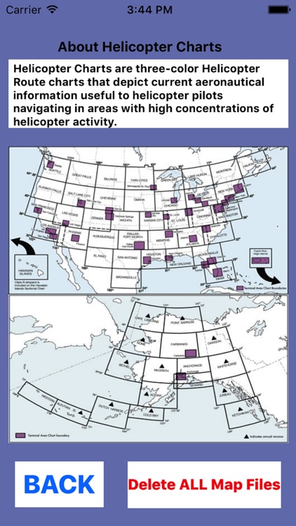
Helicopter Charts are three-color Helicopter Route charts that depict current aeronautical information useful to helicopter pilots navigating in areas with high concentrations of helicopter activity

Helicopter Charts
by SendFreeFax.net
What is it about?
Helicopter Charts are three-color Helicopter Route charts that depict current aeronautical information useful to helicopter pilots navigating in areas with high concentrations of helicopter activity.
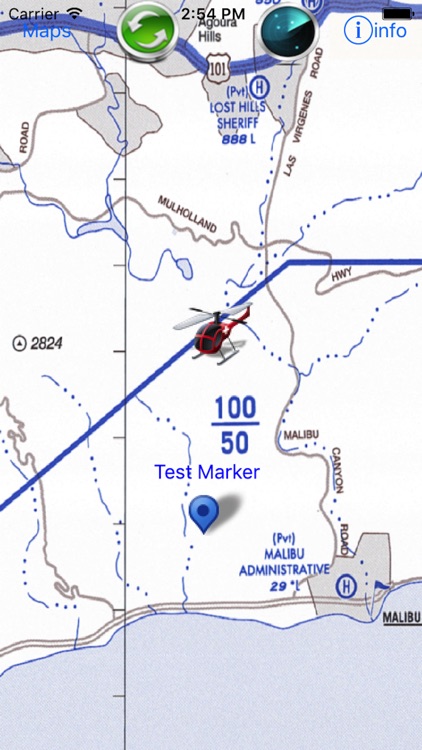
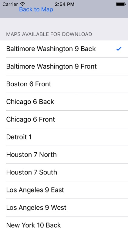
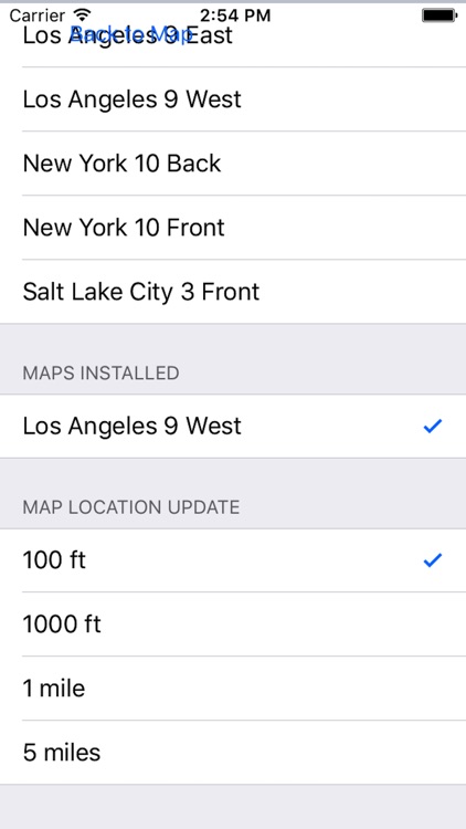
App Screenshots

App Store Description
Helicopter Charts are three-color Helicopter Route charts that depict current aeronautical information useful to helicopter pilots navigating in areas with high concentrations of helicopter activity.
Features Include:
1) Moving helicopter routes with current GPS location shown with Helicopter icon.
2) All dozone US metro area sectional maps are provided free of charge without any in-app purchases.
3) Simply double tapping on map to add any custom waypoints and single tap on waypoints remove them. Add as many waypoints that aid your navigation route planning.
3) Charts contain Helicopter routes, four classes of heliports with associated frequency and lighting capabilities, NAVAIDS, and obstructions.
4) Pictorial symbols, roads, and easily-identified geographical features are portrayed.
Disclaimer:
AppAdvice does not own this application and only provides images and links contained in the iTunes Search API, to help our users find the best apps to download. If you are the developer of this app and would like your information removed, please send a request to takedown@appadvice.com and your information will be removed.
AppAdvice does not own this application and only provides images and links contained in the iTunes Search API, to help our users find the best apps to download. If you are the developer of this app and would like your information removed, please send a request to takedown@appadvice.com and your information will be removed.