You are using an outdated browser. Please
upgrade your browser to improve your experience.

This is the official app for the Lycian Way

Lycian Way
by Kate Clow
What is it about?
This is the official app for the Lycian Way.
App Screenshots
App Store Description
This is the official app for the Lycian Way.
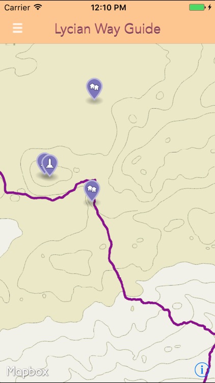
Follow the Lycian Way - this app guides you along the route with detailed maps, points of interest, places to stay and much more.
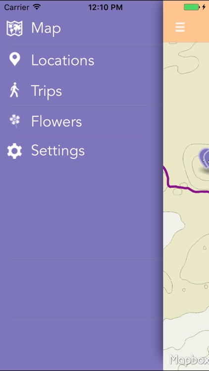
Features:
* Navigation for the Lycian way routes.
* Shows your location and the remaining distance to your target.
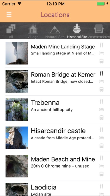
* Points of Interest, sorted according to their proximity to your location. You can get detailed information about these points of interest and have a look at photos of them.
* Flowers: see a list of flowers you might run into
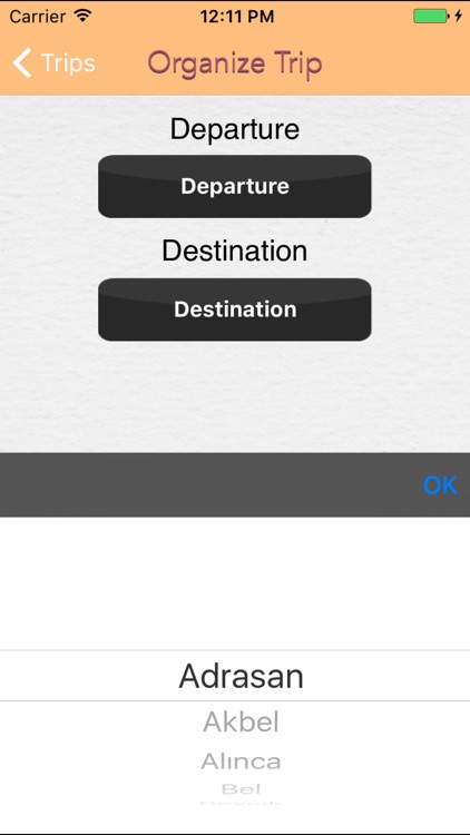
* Trip Planning: Select a departure and a destination point. LW App will guide you through the routes and give you a summary of points that you will be walking through.
* Follow me: Turn this on from the settings if you'd like the map screen to constantly focus on your current position. Very helpful for navigational purposes.
About the Lycian Way:
The Lycian Way is a 540 km, 29-day way-marked footpath around the coast of Lycia in southern Turkey, from Fethiye to Antalya. The trail consists mainly of Roman roads, old footpaths and mule trails, often hard and stony underfoot, not suitable for mountain bikes. Lying between the coast and mountains, it often has steep gradients. It was researched, designed and waymarked by Kate Clow, a British/Turkish amateur historian, in 1999.
Turkey’s first long-distance walking route, it was made in order to identify and protect some of Turkey’s old roads. The start point, at Oludeniz, is 2 hours from Dalaman airport and the end point is near the international airport at Antalya. There is good public transport all along the trail and opportunities to swim, canoe or paraglide.
Trekking is best in spring or autumn – February-May or September-November – summer in Lycia is too hot for long walks. Except for 3 high-level sections, every night you can find accommodation in village houses, pensions or small hotels. Independent trekkers will find plenty of wild camping places with nearby water.
Disclaimer:
AppAdvice does not own this application and only provides images and links contained in the iTunes Search API, to help our users find the best apps to download. If you are the developer of this app and would like your information removed, please send a request to takedown@appadvice.com and your information will be removed.
AppAdvice does not own this application and only provides images and links contained in the iTunes Search API, to help our users find the best apps to download. If you are the developer of this app and would like your information removed, please send a request to takedown@appadvice.com and your information will be removed.