You are using an outdated browser. Please
upgrade your browser to improve your experience.

Achieve total operational awareness all season long with Taranis Scout

Mobile Scout App
by Taranis
What is it about?
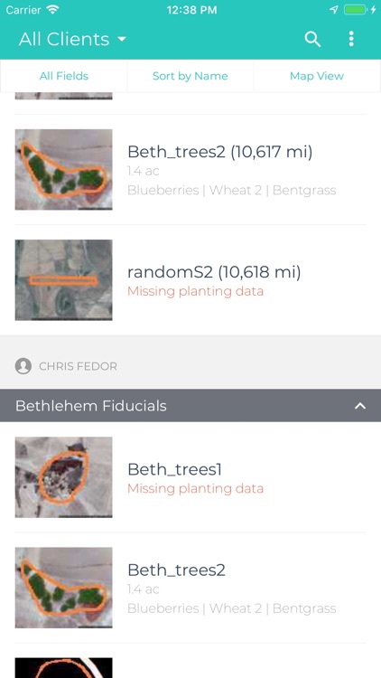
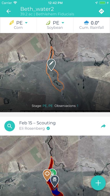
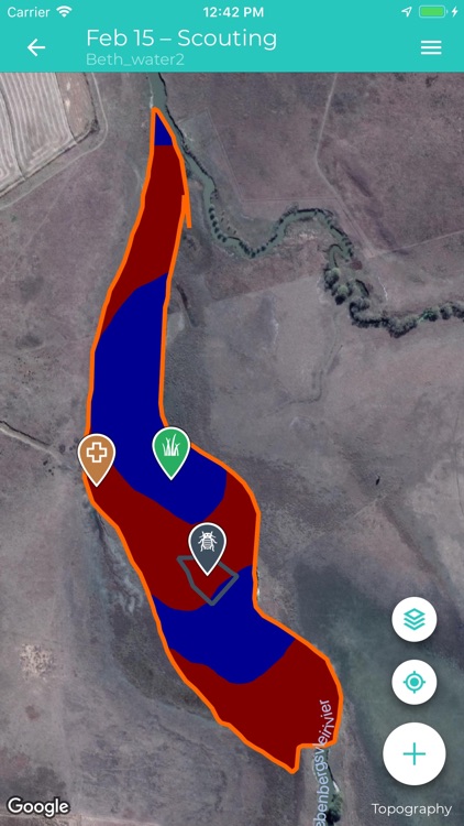
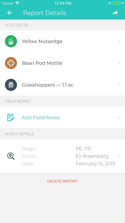
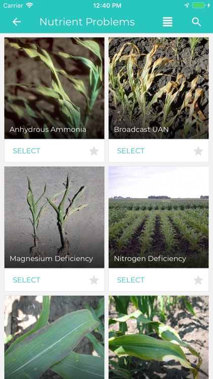
Achieve total operational awareness all season long with Taranis Scout. Take the power of imaging, analytics, and comprehensive reporting to the field with automatic issue detection and quantified alerts delivered to you and your team anytime, anywhere. Prioritize fields to scout and sample, navigate to areas at risk, and record observations with just a few clicks. Utilize high-resolution or satellite layers to direct scouting activities, on or offline. Monitor field conditions like rainfall and GDDs, and access our large database of issues -- from weeds to diseases, insects, and disorders -- to record what you’re seeing. Add geotagged notes, photos, and voice memos to reports to validate services you offer to your client base, then email those reports directly from the field.
App Screenshots
App Store Description
Achieve total operational awareness all season long with Taranis Scout. Take the power of imaging, analytics, and comprehensive reporting to the field with automatic issue detection and quantified alerts delivered to you and your team anytime, anywhere. Prioritize fields to scout and sample, navigate to areas at risk, and record observations with just a few clicks. Utilize high-resolution or satellite layers to direct scouting activities, on or offline. Monitor field conditions like rainfall and GDDs, and access our large database of issues -- from weeds to diseases, insects, and disorders -- to record what you’re seeing. Add geotagged notes, photos, and voice memos to reports to validate services you offer to your client base, then email those reports directly from the field.
This software application incorporates research and educational content from a variety of independent research institutions the Iowa State University of Science and Technology.
Continued use of GPS running in the background can dramatically decrease battery life.
FEATURES:
• Bring timely, actionable high-resolution imagery and map layers with you to the field
• Receive automatic notifications to alert you to potential crop performance issues and yield at risk
• Seamlessly import and export any and all data for optimal sharing and analysis
• Take geotagged field observations, photos, and voice memos while you're working
• Quickly update crop growth stages from your device
• Access all imagery, map layers, and reports online or offline
• Scout with our large database of weeds, diseases, insects, and disorders
• Track rainfall, field velocity, and GDDs across your operation
• Easy navigation between your organization’s field hierarchy
ABOUT TARANIS:
Taranis is an analytics company leveraging imagery to drive the next revolution in farm efficiency. With its network of aircraft and satellites, Taranis provides total field awareness enabling growers and their service providers to maximize yields and reduce costs. Taranis combines computer vision algorithms and machine learning to detect, predict, and alert to changes in crop conditions to help you prioritize where you scout, sample, and ultimately achieve your yield goals every season.
Disclaimer:
AppAdvice does not own this application and only provides images and links contained in the iTunes Search API, to help our users find the best apps to download. If you are the developer of this app and would like your information removed, please send a request to takedown@appadvice.com and your information will be removed.
AppAdvice does not own this application and only provides images and links contained in the iTunes Search API, to help our users find the best apps to download. If you are the developer of this app and would like your information removed, please send a request to takedown@appadvice.com and your information will be removed.