You are using an outdated browser. Please
upgrade your browser to improve your experience.
●Application

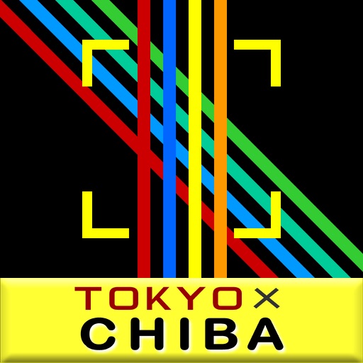
TOKYO x CHIBA Route Map
by Northvillage
What is it about?
●Application
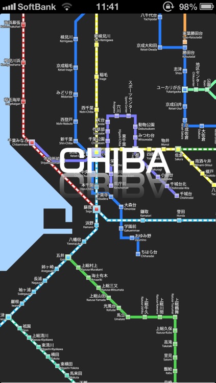
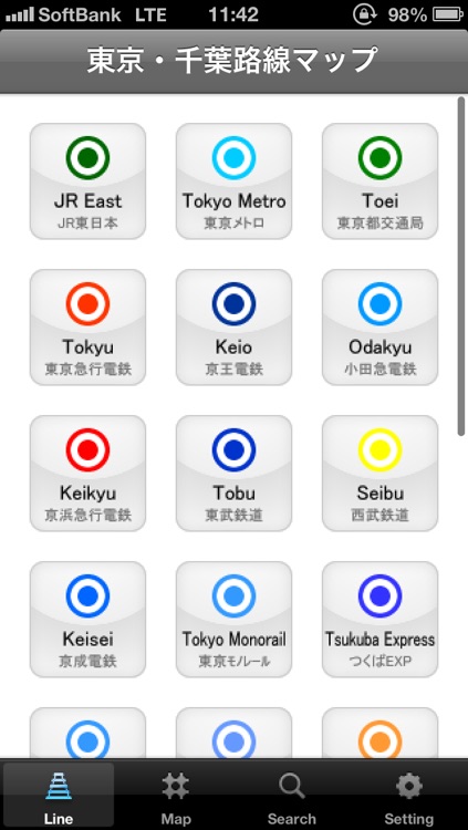
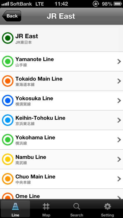
App Screenshots
App Store Description
●Application
It is 'TOKYO x CHIBA Route Map' that covers JR, the subway, and the private railway in TOKYO and CHIBA Prefecture.
JR, the subway, and the private railway in one capital one prefecture are collected.
TOKYO x CHIBA Route Map targets all areas in Tokyo and Chiba Prefecture.
- JR East
- Tokyo Metro
- Toei
- Tokyu
- Keio
- Odakyu
- Keikyu
- Tobu
- Seibu
- Keisei
- Tokyo Monorail
- Tsukuba Express
- Yurikamome
- Tokyo Rinkai
- Tama Monorail
- Saitama Rapid
- Disney Resort
- Toyo Rapid
- Chiba Urban Monorail
- Shibayama
- Hokuso
- Shin-Keisei
- Yamaman
- Ryutetsu
- Kominato
- Isumi
- Choshi
JR (1 companies): 25 route
Subway (2 companies): 15 route
Private railway (24 companies): 58 routes
●Feature
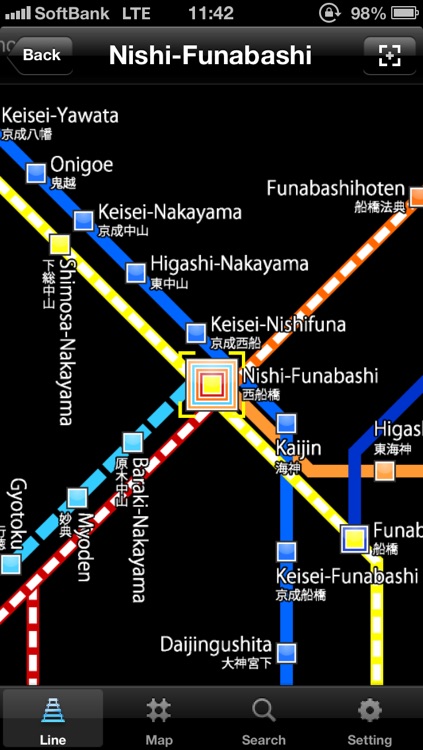
・Expansion reduced display of route map (original).
・Choice is possible from 27 railroad companies.
・Each route can be selected from the railway company further.
・Each route is a display of the station name (Japanese and English) and the transfers.
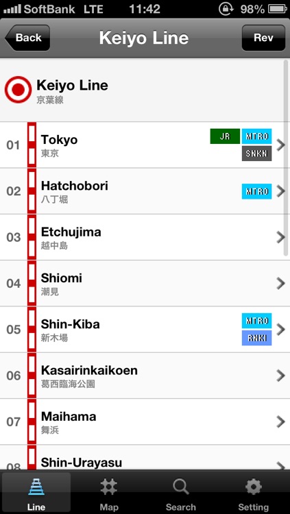
・I move to a route list when I tap a station name by a route map
・The route map covers the subway (metro and toei).
・It is also possible to change to "Display only of Tokyo Metro and Toei Transportation (Bureau of Transportation of the Tokyo Metropolitan Government) " on a set screen.
・As for the route map, cooperation with another area (SAITAMA & CHIBA Route Map) is possible.
(The purchase of "TOKYO × KANAGAWA Route Map" & "TOKYO × SAITAMA Route Map" is separately necessary for cooperation.)
*Set screen*
・Any Japanese and English correspondence.
・The fixed display function of length and side is provided.
・TOP screens can be selected and either of Icon or List be selected.
・The map kind of selection can be done. The display only of only Tokyo and CHIBA is also possible though default is Tokyo and CHIBA. Moreover, because the route map is made easy to see, the setting of a metro, an under metropolitan management emphasis (subway), and other emphasis (JR and private railway, etc.) is possible the display.
・As for the map base, the display of the base corresponding to the map kind is possible. As for the metro, eight bases and Tokyo and Chiba can select 12 bases and Chiba from four bases in 5 bases and Tokyo.
*Directions*
・Because data is large, the route map might be driven for a few seconds until being displayed. Please acknowledge it.
◎Related application program
- TOKYO x KANAGAWA Route Map
- TOKYO x SAITAMA Route Map
Disclaimer:
AppAdvice does not own this application and only provides images and links contained in the iTunes Search API, to help our users find the best apps to download. If you are the developer of this app and would like your information removed, please send a request to takedown@appadvice.com and your information will be removed.
AppAdvice does not own this application and only provides images and links contained in the iTunes Search API, to help our users find the best apps to download. If you are the developer of this app and would like your information removed, please send a request to takedown@appadvice.com and your information will be removed.