You are using an outdated browser. Please
upgrade your browser to improve your experience.
Wonderland Trail by Tami Asars is built through a collaboration of the creators of Guthook's Guides hiking guide apps and Tami Asars, author of the popular guidebook "Hiking the Wonderland Trail: The Complete Guide to Mount Rainier's Premier Trail

Wonderland Trail by Tami Asars
by Guthook Hikes, LLC
What is it about?
Wonderland Trail by Tami Asars is built through a collaboration of the creators of Guthook's Guides hiking guide apps and Tami Asars, author of the popular guidebook "Hiking the Wonderland Trail: The Complete Guide to Mount Rainier's Premier Trail."
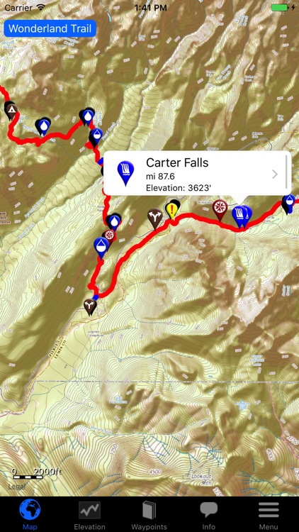
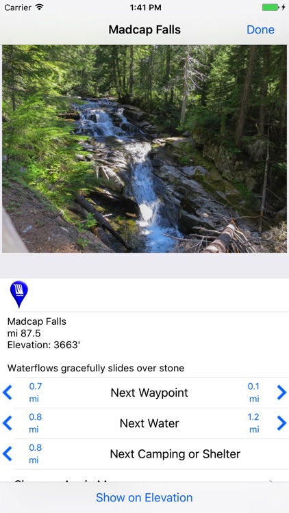
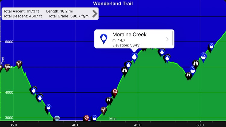
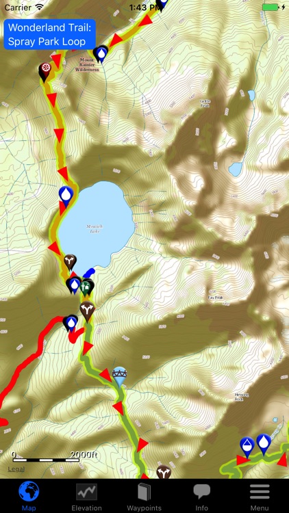
App Screenshots

App Store Description
Wonderland Trail by Tami Asars is built through a collaboration of the creators of Guthook's Guides hiking guide apps and Tami Asars, author of the popular guidebook "Hiking the Wonderland Trail: The Complete Guide to Mount Rainier's Premier Trail."
The Wonderland Trail app is a GPS- and map-based guide for your Wonderland Trail hiking experience.
NO MOBILE OR INTERNET service is required to use it after the initial setup.
Features:
*GPS-enabled map of the Wonderland Trail and side trails
*400+ waypoints with over 500 photos
*Offline topo maps and satellite imagery.
*GPS-enabled elevation profile with waypoints
*GPS-enabled data book listing of all waypoints
The types of waypoints include:
-->Water sources (including the reliability of each water source)
-->Designated Wonderland Trail camping sites
-->Trail junctions
-->Parking areas
-->Ranger cabins
-->Road crossings
-->Natural landmarks
-->Privies
-->Views
Note: Continued use of GPS running in the background can dramatically decrease battery life.
Disclaimer:
AppAdvice does not own this application and only provides images and links contained in the iTunes Search API, to help our users find the best apps to download. If you are the developer of this app and would like your information removed, please send a request to takedown@appadvice.com and your information will be removed.
AppAdvice does not own this application and only provides images and links contained in the iTunes Search API, to help our users find the best apps to download. If you are the developer of this app and would like your information removed, please send a request to takedown@appadvice.com and your information will be removed.