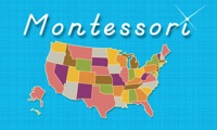
The United States of America - Geography by Mobile Montessori
Ages 2 & up. Learn about the 50 states with this time-tested method by Mobile Montessori!
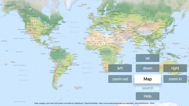
This simple, three step process to learn geography is being used by schools around the world. Here's how it works:
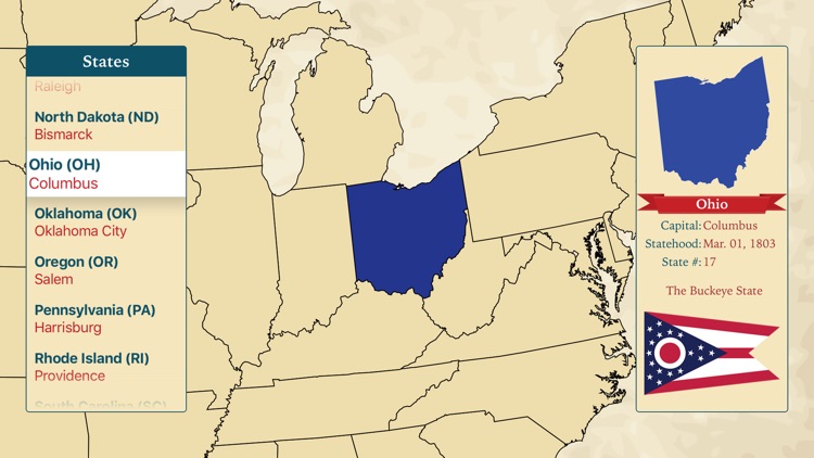
1. In the Learning Center, children can browse through the states, learning to pronounce each name, seeing the state shapes and location, and get to listen to a brief history and description of each state.
2. In the first Puzzle Map, children will enjoy assembling the map by searching for the state that matches the blinking shape on the map. As each state is placed, they will hear the name pronounced aloud.
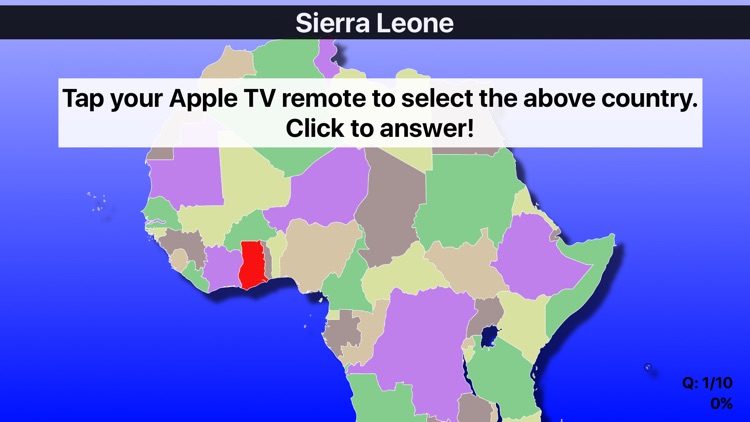
3. The second Puzzle Map is the most challenging. Search for the state that matches the name displayed at the top. The name will be heard aloud so young children who cannot read will know which state to search for.
We've published apps using this method for over five years with fantastic feedback from both parents and teachers.
Thanks for supporting Mobile Montessori's educational apps.