You are using an outdated browser. Please
upgrade your browser to improve your experience.

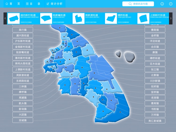
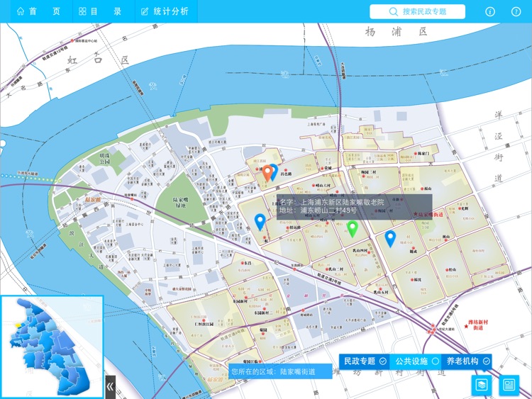
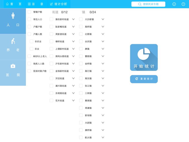
本软件以浦东新区36个街道、镇为单位,表示了区域内行政区划、养老机构、公共设施以及主要道路、居民地、生活信息等内容。

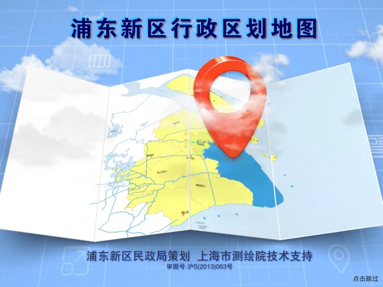
浦东新区行政区划地图
by Shanghai Surveying and Mapping Institute
What is it about?
本软件以浦东新区36个街道、镇为单位,表示了区域内行政区划、养老机构、公共设施以及主要道路、居民地、生活信息等内容。
App Screenshots
App Store Description
本软件以浦东新区36个街道、镇为单位,表示了区域内行政区划、养老机构、公共设施以及主要道路、居民地、生活信息等内容。
可按名称搜索街道、镇、村委会和居委会,显示其地址、电话等内容,图面将显示其所在的街道(镇)区域地图。
Disclaimer:
AppAdvice does not own this application and only provides images and links contained in the iTunes Search API, to help our users find the best apps to download. If you are the developer of this app and would like your information removed, please send a request to takedown@appadvice.com and your information will be removed.
AppAdvice does not own this application and only provides images and links contained in the iTunes Search API, to help our users find the best apps to download. If you are the developer of this app and would like your information removed, please send a request to takedown@appadvice.com and your information will be removed.