You are using an outdated browser. Please
upgrade your browser to improve your experience.

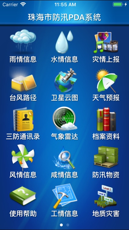
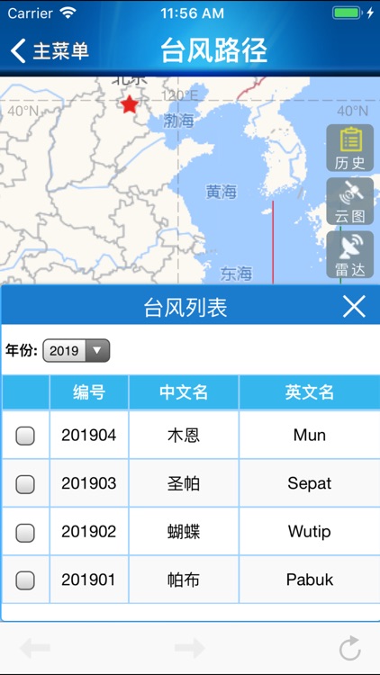
珠海防汛通系统在GIS地图上展示区域内的台风路径、卫星云图、气象雷达图等信息。系统界面风格简洁、展示方式多样、数据加载快速,为防汛指挥作出快速、正确的决策。

珠海防汛通
by HUAYING JIANG

What is it about?
珠海防汛通系统在GIS地图上展示区域内的台风路径、卫星云图、气象雷达图等信息。系统界面风格简洁、展示方式多样、数据加载快速,为防汛指挥作出快速、正确的决策。
App Screenshots
App Store Description
珠海防汛通系统在GIS地图上展示区域内的台风路径、卫星云图、气象雷达图等信息。系统界面风格简洁、展示方式多样、数据加载快速,为防汛指挥作出快速、正确的决策。
Disclaimer:
AppAdvice does not own this application and only provides images and links contained in the iTunes Search API, to help our users find the best apps to download. If you are the developer of this app and would like your information removed, please send a request to takedown@appadvice.com and your information will be removed.
AppAdvice does not own this application and only provides images and links contained in the iTunes Search API, to help our users find the best apps to download. If you are the developer of this app and would like your information removed, please send a request to takedown@appadvice.com and your information will be removed.