You are using an outdated browser. Please
upgrade your browser to improve your experience.

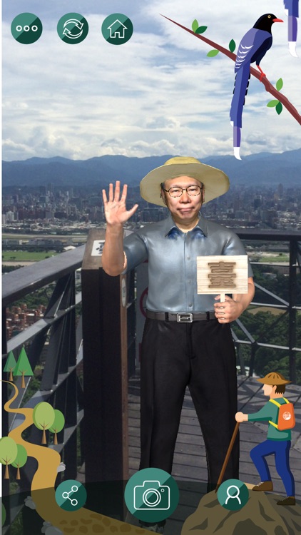
「什麼!沿著臺北盆地山稜有路可以欣賞臺北市的美景?!」

臺北大縱走AR
by Panosensing, Ltd.


What is it about?
「什麼!沿著臺北盆地山稜有路可以欣賞臺北市的美景?!」
App Store Description
「什麼!沿著臺北盆地山稜有路可以欣賞臺北市的美景?!」
從107年9月17日起「臺北步道秋季大縱走」要正式開跑囉~~
臺北市政府規劃了長達7天總長92公里的「南北大縱走」步道路線,邀請您一起來一場「一生一次的壯遊」。
偷偷告訴你一個小秘密:
大縱走沿線共設置了12處拓印點,集滿6個或12個還可以到臺北市政府工務局大地工程處兌換精美紀念品喔!
----------
本APP配合『臺北步道秋季大縱走啟動記者會暨步道成果展』,步道成果展於107年9月17至20日,每日上午9時至晚間6時,連續4日在「臺北市政府中庭」展出,歡迎有興趣的朋友一同共襄盛舉。
詳情請參考活動說明網頁:
http://panosensing.com/tpcgeo_hiking
Disclaimer:
AppAdvice does not own this application and only provides images and links contained in the iTunes Search API, to help our users find the best apps to download. If you are the developer of this app and would like your information removed, please send a request to takedown@appadvice.com and your information will be removed.
AppAdvice does not own this application and only provides images and links contained in the iTunes Search API, to help our users find the best apps to download. If you are the developer of this app and would like your information removed, please send a request to takedown@appadvice.com and your information will be removed.