You are using an outdated browser. Please
upgrade your browser to improve your experience.
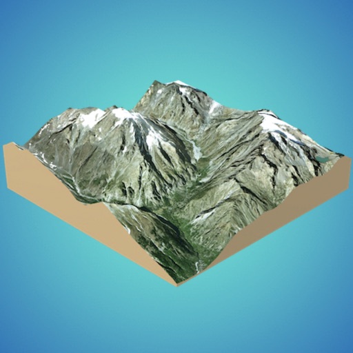
Quickly generate 3D models:

3D GIS Digital Elevation Model
by Andres Narvaez
What is it about?
Quickly generate 3D models:
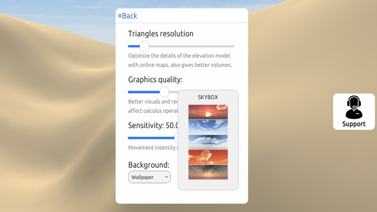
App Screenshots
App Store Description
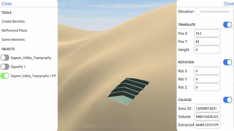
Quickly generate 3D models:
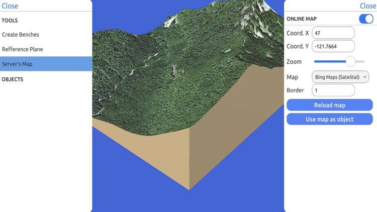
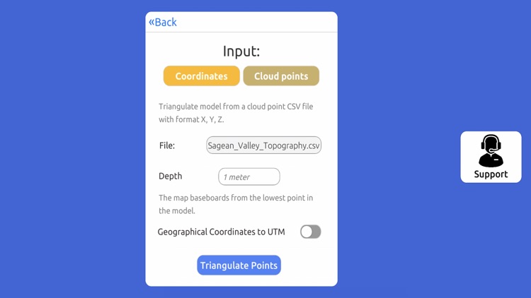
Directly from the internet; Bing Maps, Mapbox and ArcGIS or from a cloud point stored locally.
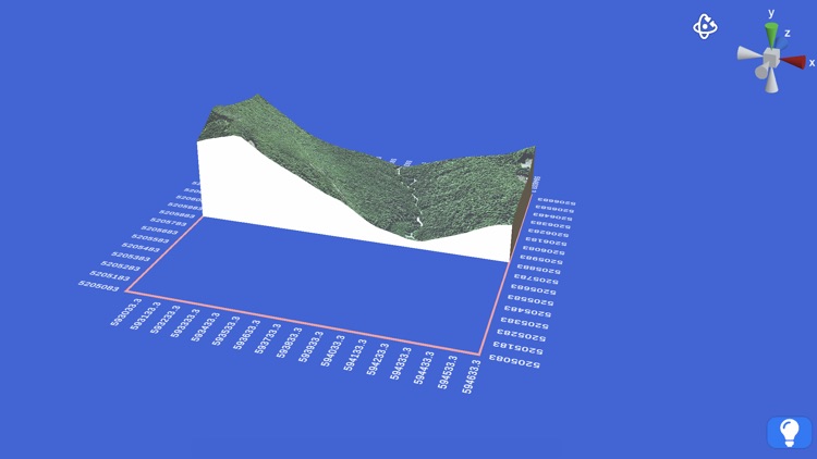
Export real data:
From point cloud data in CSV or TXT to 3D models in STL or OBJ and satellital images.
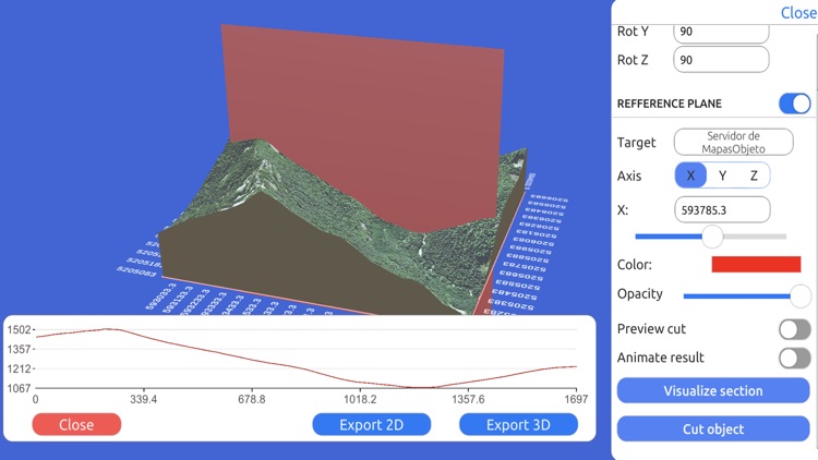
Operate:
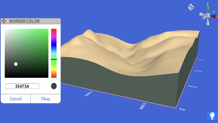
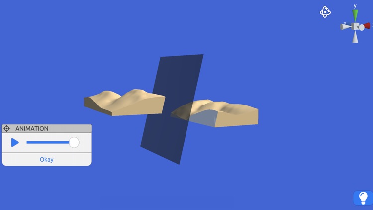
Cut, re-scale and animate models for representation, analysis and calculations.
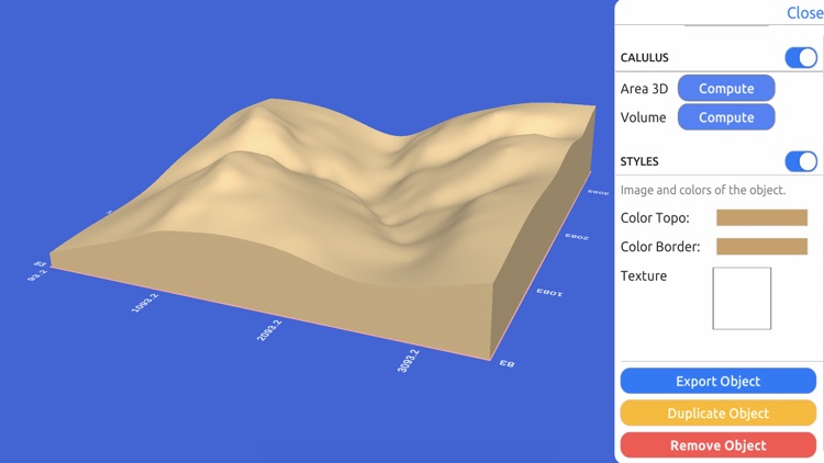
Compute operations:
Calculate surface areas and volumes of a model in real world units with little difference compared to ArcGIS.
Explore:
Character controller geopositioned in real world coordinate systems such as UTM and Geographic Coordinate System.
Disclaimer:
AppAdvice does not own this application and only provides images and links contained in the iTunes Search API, to help our users find the best apps to download. If you are the developer of this app and would like your information removed, please send a request to takedown@appadvice.com and your information will be removed.
AppAdvice does not own this application and only provides images and links contained in the iTunes Search API, to help our users find the best apps to download. If you are the developer of this app and would like your information removed, please send a request to takedown@appadvice.com and your information will be removed.