You are using an outdated browser. Please
upgrade your browser to improve your experience.

Arcsset is an enterprise level asset management, mapping, and traceability solution simplifying the collection and analysis of user input data

Arcsset
by Nektar Inc.
What is it about?
Arcsset is an enterprise level asset management, mapping, and traceability solution simplifying the collection and analysis of user input data. Arcsset utilizes QR or 2D identification tags and smartphone GIS mapping technology to track and record asset activity - providing true traceability and management functionality. Capture and transfer data in real-time to our secure cloud servers. With powerful data management and reporting procedures, Arcsset becomes an invaluable decision support system. Visit the Arcsset website to request more information.
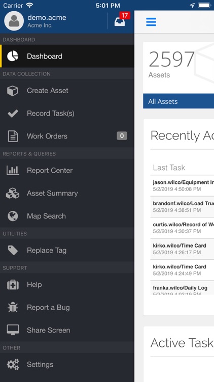
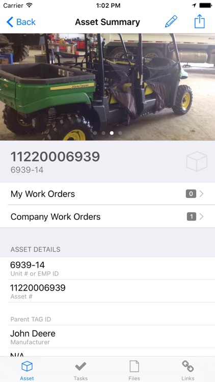
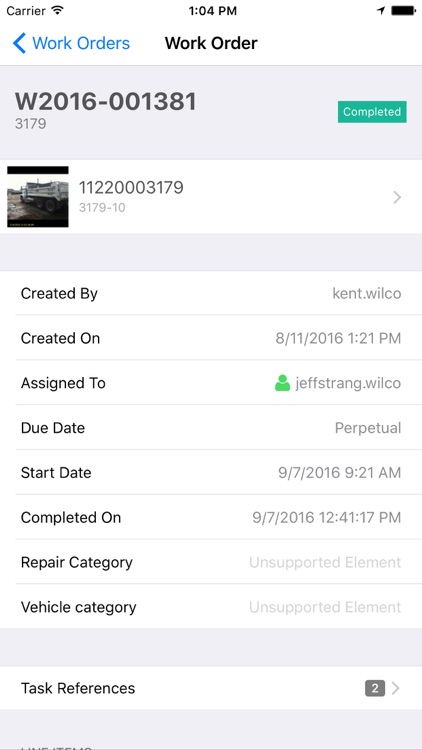
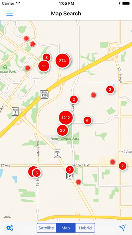
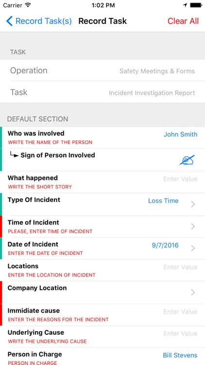
App Screenshots
App Store Description
Arcsset is an enterprise level asset management, mapping, and traceability solution simplifying the collection and analysis of user input data. Arcsset utilizes QR or 2D identification tags and smartphone GIS mapping technology to track and record asset activity - providing true traceability and management functionality. Capture and transfer data in real-time to our secure cloud servers. With powerful data management and reporting procedures, Arcsset becomes an invaluable decision support system. Visit the Arcsset website to request more information.
Features:
- Build an asset inventory for any asset type
- Record tasks performed on individual assets in the field
- Record various types of data in task or inspection events including numeric, text, images, signature, and sketches.
- Retrieve the full life history and any documents stored for the asset by scanning the QR tag associated with the asset and pulling data from cloud.
- Print or export PDF reports for asset condition or any other task and asset related information.
- Capture asset's GPS map location with each scan
- Upload pictures and comments to individual assets
- Manage all menu taxonomy and data retrieval in a simple to use web interface
Note: Continued use of GPS running in the background can dramatically decrease battery life.
Disclaimer:
AppAdvice does not own this application and only provides images and links contained in the iTunes Search API, to help our users find the best apps to download. If you are the developer of this app and would like your information removed, please send a request to takedown@appadvice.com and your information will be removed.
AppAdvice does not own this application and only provides images and links contained in the iTunes Search API, to help our users find the best apps to download. If you are the developer of this app and would like your information removed, please send a request to takedown@appadvice.com and your information will be removed.