You are using an outdated browser. Please
upgrade your browser to improve your experience.

This application is an official software of "Azeraronavigation" Air Traffic Department of "Azerbaijan Hava Yollari" Closed Joint-stock Company, intended to simplify access to official Aeronautical Information Database, maintained by Aeronautical Information Service of Azerbaijan Republic

AZANS Airpad
by Azerbaijan Airlines CJSC
What is it about?
This application is an official software of "Azeraronavigation" Air Traffic Department of "Azerbaijan Hava Yollari" Closed Joint-stock Company, intended to simplify access to official Aeronautical Information Database, maintained by Aeronautical Information Service of Azerbaijan Republic.
App Screenshots

App Store Description
This application is an official software of "Azeraronavigation" Air Traffic Department of "Azerbaijan Hava Yollari" Closed Joint-stock Company, intended to simplify access to official Aeronautical Information Database, maintained by Aeronautical Information Service of Azerbaijan Republic.
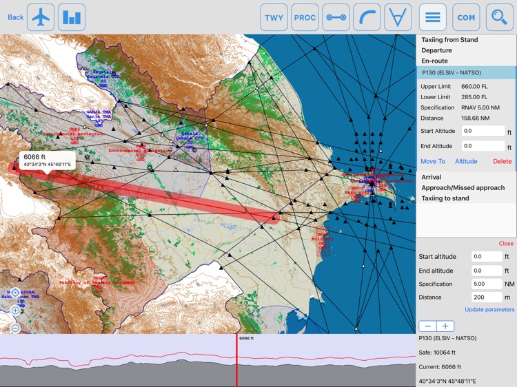
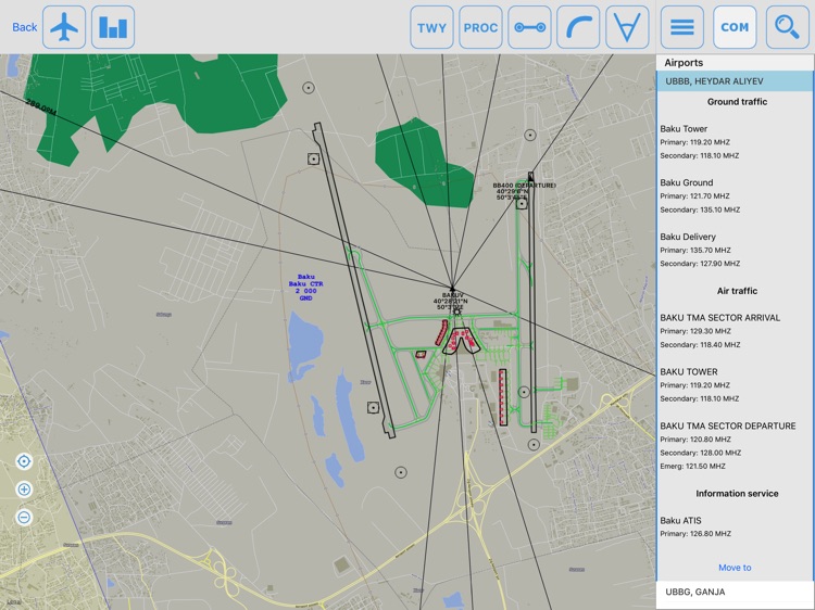
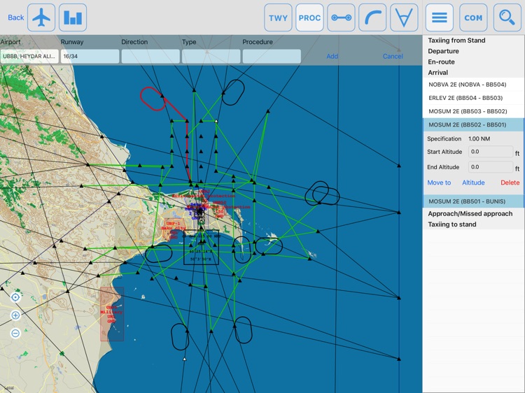
This application includes features which might help private as well as commercial pilots to prepare their flights through the Flight Information Region of Azerbaijan such as:
- Detailed maps of Aerodromes, including stands, taxiways, runways, aprons, navaids etc.;
- Enroute map, including Routes, Restricted, Dangerous and Prohibited areas, FIR borders,
- Digital Earth Model integrated into software to enable calculation of flight profile,
- Detailed information on Navaids;
- Integrated ICAO map for visual flights.
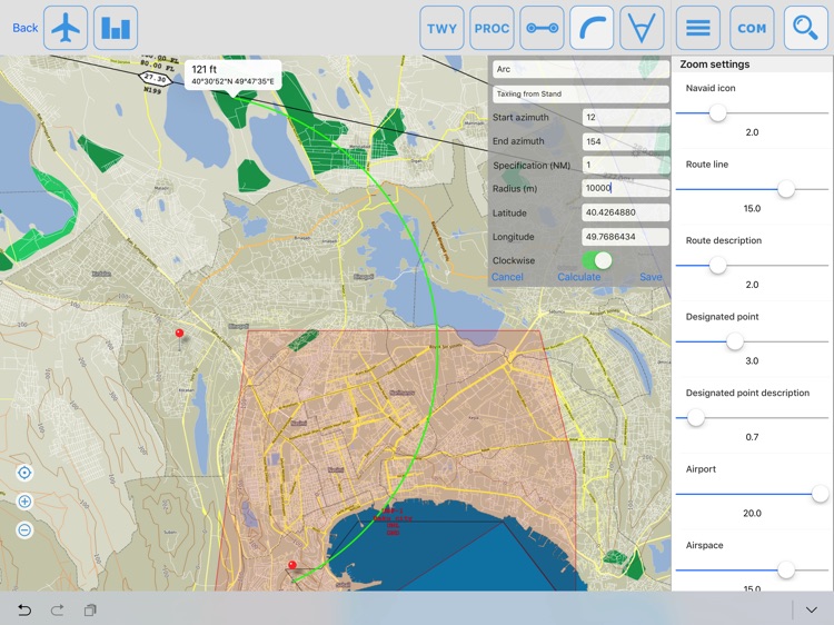
Pilots might consult this application to get rough calculation of both IFR and VFR flight trajectories on the ground before the flight as well as already airborne. User friendly tools help to do it fast and easy. GPS might be used to control present position.
Each flight might be recorded by the tracker and replayed. Some statistics is available.
Disclaimer:
AppAdvice does not own this application and only provides images and links contained in the iTunes Search API, to help our users find the best apps to download. If you are the developer of this app and would like your information removed, please send a request to takedown@appadvice.com and your information will be removed.
AppAdvice does not own this application and only provides images and links contained in the iTunes Search API, to help our users find the best apps to download. If you are the developer of this app and would like your information removed, please send a request to takedown@appadvice.com and your information will be removed.