You are using an outdated browser. Please
upgrade your browser to improve your experience.
bGEO - hybrid navigation system that combines the advantages of offline navigator with the convenience of using online applications

bGEO GPS Navigator
by GEOPHONE GROUP INTERNATIONAL Oy

What is it about?
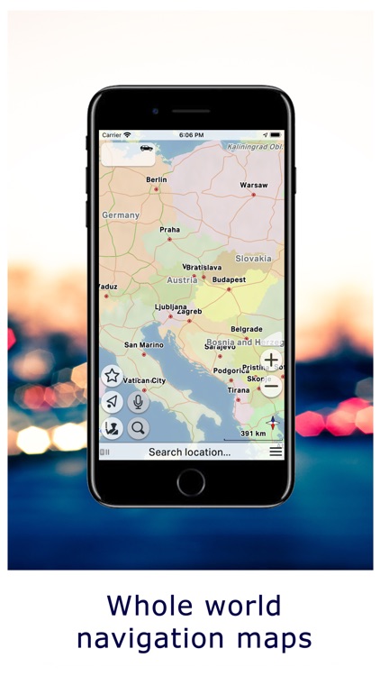
bGEO - hybrid navigation system that combines the advantages of offline navigator with the convenience of using online applications. The navigator uses compact size vector maps, so bGEO can working in poor signal strength areas and all downloaded maps automatically cached on the device. In the absence of access to the Internet, bGEO automatically switches to offline mode and works as a offline navigator.
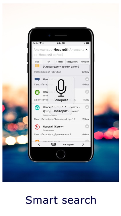
App Screenshots
App Store Description
bGEO - hybrid navigation system that combines the advantages of offline navigator with the convenience of using online applications. The navigator uses compact size vector maps, so bGEO can working in poor signal strength areas and all downloaded maps automatically cached on the device. In the absence of access to the Internet, bGEO automatically switches to offline mode and works as a offline navigator.
Use the navigation is very simple - download, launch and build a route. Required maps data will be downloaded automatically and will to be used for routing.
Instant download of maps and application speed.
You can also download selected maps for full offline work (Click on the map: download ...).
Features:
- Free OSM maps
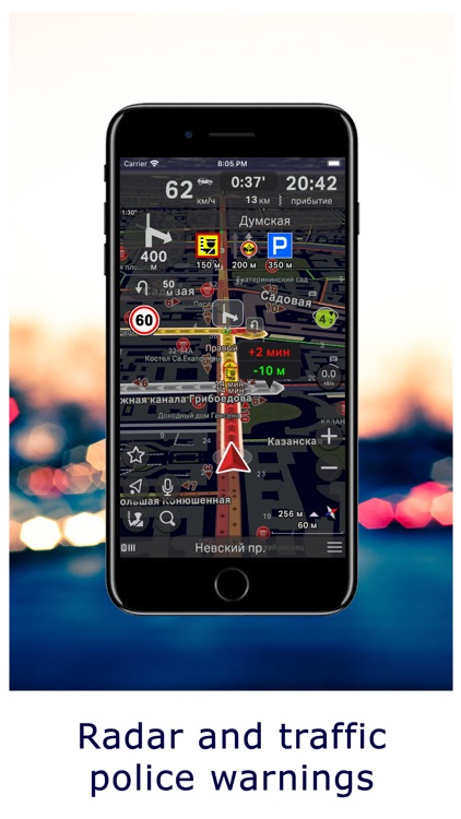
- Speed camera warnings
- Events warnings (accident, traffic police and others.)
- Automatic usage of info about road conditions (road closures, direction change, turn restrictions etc.)
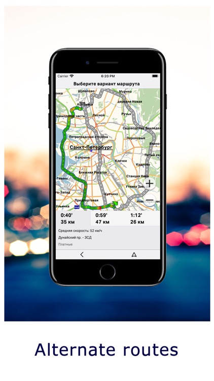
- Suggestion of new alternative routes during the trip
- Smart voice search
- Garmin GPX waypoints import (Route: Waypoints)
- PLT tracks import and export (Route: Tracks)
* Long use of GPS in the background can dramatically decrease battery life.
Disclaimer:
AppAdvice does not own this application and only provides images and links contained in the iTunes Search API, to help our users find the best apps to download. If you are the developer of this app and would like your information removed, please send a request to takedown@appadvice.com and your information will be removed.
AppAdvice does not own this application and only provides images and links contained in the iTunes Search API, to help our users find the best apps to download. If you are the developer of this app and would like your information removed, please send a request to takedown@appadvice.com and your information will be removed.