You are using an outdated browser. Please
upgrade your browser to improve your experience.

** Visit the App homepage to view our video tutorials and documentation (available in PDF and ePub format) **

CartoMobile
by ClueTrust
What is it about?
** Visit the App homepage to view our video tutorials and documentation (available in PDF and ePub format) **
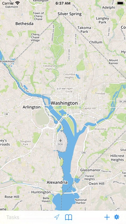
App Screenshots
App Store Description
** Visit the App homepage to view our video tutorials and documentation (available in PDF and ePub format) **
CartoMobile® transforms your iOS device into a mobile geospatial data entry device. View, add, or edit data in the field. Add pictures to points to clarify your observations.
In network mode, use it to connect to your WFS and WMS servers to view and maintain data in real time.
In ad hoc mode, CartoMobile can operate without an internet connection to browse local data sets and enter information for download from the device later.
Features include:
- Works natively with industry-standard SHP files with almost any native projection (reprojecting on the fly)
- Supports MrSID, GeoTIFF, JPEG, JPEG2000, and ECW raster formats for background imagery
- Supports automatically remapping Coordinate Reference Systems (Projections)
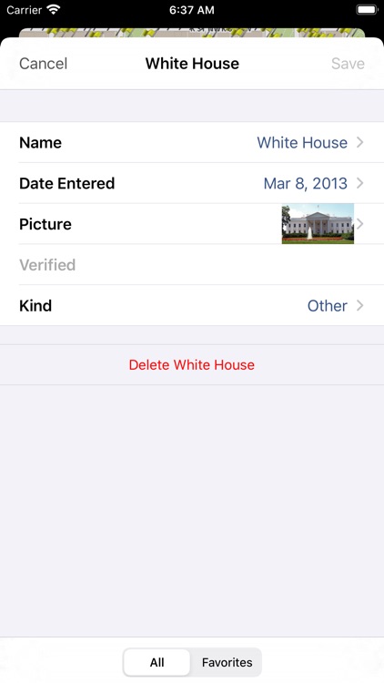
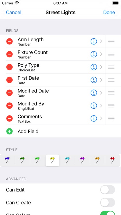
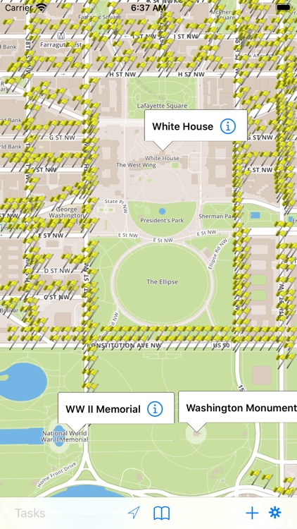
- View, modify, and add new points, lines, and polygons with attribute data
- View multiple layers to create and overview, or toggle layers on and off for clarity
- On-device caching of background data for offline use
- Create dedicated maps for each project and switch between them with ease
- Exchange configurations and data via email
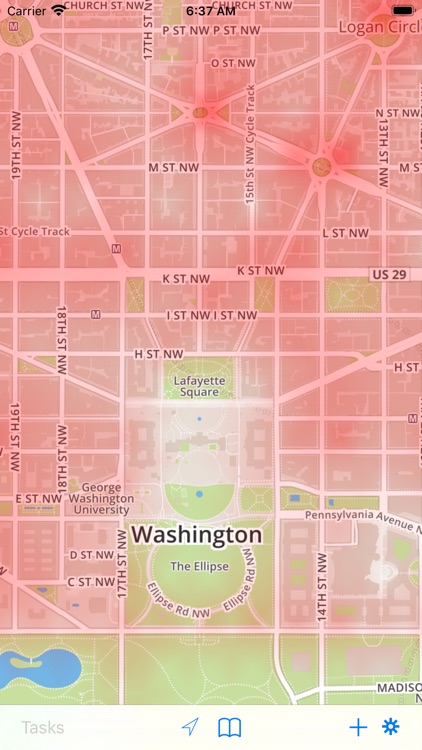
- Heat maps to represent high density areas
- Flexible data entry forms, with 12 form types including choice fields and check boxes
- Add photos to your GIS data directly from the camera or your Pictures (retrieving data from the camera requires and iOS supported camera)
- Integration with iOS Maps application for directions
- Task system available in multi-user environments to assign tasks to individual users
Please contact us through support for advanced configuration options for use with WFS Servers, decision-tree data entry, and task-based data entry and update.
Additional configuration options and customization now available for your specific needs, contact us through support or via our web site for more information.
Disclaimer:
AppAdvice does not own this application and only provides images and links contained in the iTunes Search API, to help our users find the best apps to download. If you are the developer of this app and would like your information removed, please send a request to takedown@appadvice.com and your information will be removed.
AppAdvice does not own this application and only provides images and links contained in the iTunes Search API, to help our users find the best apps to download. If you are the developer of this app and would like your information removed, please send a request to takedown@appadvice.com and your information will be removed.