You are using an outdated browser. Please
upgrade your browser to improve your experience.
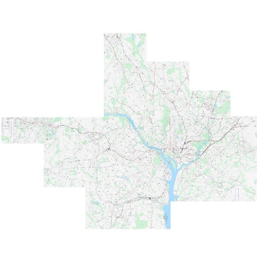
Know your way around while offline in the U

D.C. Scaled Subway Map Offline
by Jiyong Wang

What is it about?
Know your way around while offline in the U.S. capital Washington District of Columbia with the help of the offline maps and scaled offline subway/bus maps, points of attractions.
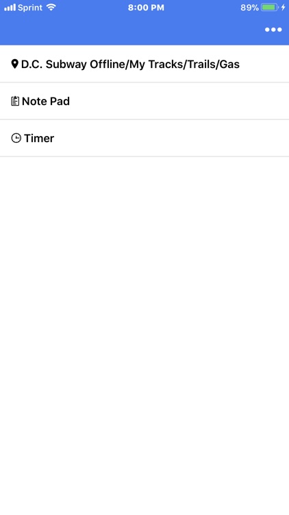
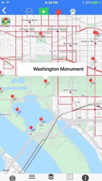
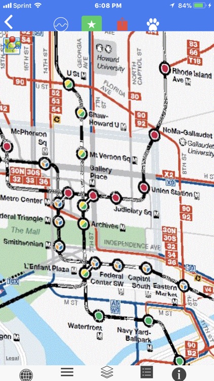
App Screenshots

App Store Description
Know your way around while offline in the U.S. capital Washington District of Columbia with the help of the offline maps and scaled offline subway/bus maps, points of attractions.
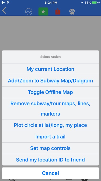
By using offline maps, your phone’s battery can sustain a clot longer.
The offline subway/bus map is scaled to online maps so your location can be seen correctly on the map.
The subway/bus diagram help you find information about each and the nearest subway stations/bus stops on each line.
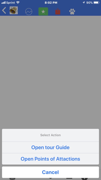
The tour guide and points of attractions opens at a click of the button shows you all the fun places and things on the offline maps.
The offline map can be magnified so as to get detailed streets information.
Points of attractions with rank as popularity and visit duration information can be searched by key word or category then plotted on maps.
It's a great tool for both D.C. residents as well as visitors, offline and online.
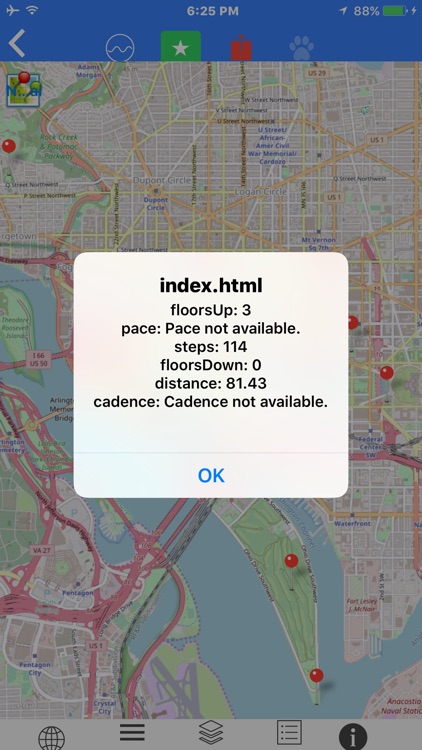
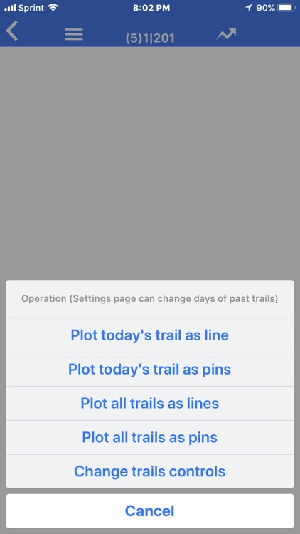
You can do more with the app. such as viewing friends current locations (goto members ... from the root main menu), collecting your locations into named trails and sharing with friends, contacts sharing, note keeping, timer, walk steps counting, etc.
Disclaimer:
AppAdvice does not own this application and only provides images and links contained in the iTunes Search API, to help our users find the best apps to download. If you are the developer of this app and would like your information removed, please send a request to takedown@appadvice.com and your information will be removed.
AppAdvice does not own this application and only provides images and links contained in the iTunes Search API, to help our users find the best apps to download. If you are the developer of this app and would like your information removed, please send a request to takedown@appadvice.com and your information will be removed.