You are using an outdated browser. Please
upgrade your browser to improve your experience.
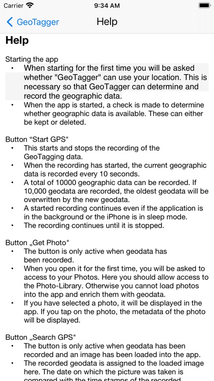
GeoTagger is an easy-to-use tool that can be used to enrich photos with geo or GPS data

DSJ GeoTagger
by Dirk Schulz-Judith

What is it about?
GeoTagger is an easy-to-use tool that can be used to enrich photos with geo or GPS data.
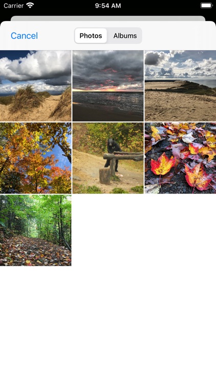
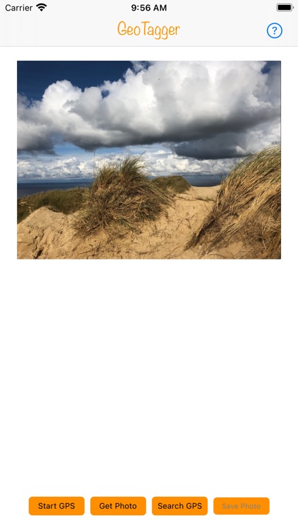
App Screenshots


App Store Description
GeoTagger is an easy-to-use tool that can be used to enrich photos with geo or GPS data.
Simply start GeoTagger during an excursion and record the geo data during the excursion.
After the excursion the photos can be conveniently and automatically enriched with the corresponding geo-data.
A total of 10,000 geodata can be recorded with GeoTagger. This is usually enough to be able to add geo-data to all trips of a 3 - 4 week vacation.
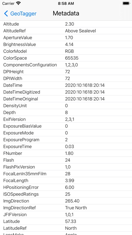
In addition, the metadata of the loaded photo can be displayed via GeoTagger.
Disclaimer:
AppAdvice does not own this application and only provides images and links contained in the iTunes Search API, to help our users find the best apps to download. If you are the developer of this app and would like your information removed, please send a request to takedown@appadvice.com and your information will be removed.
AppAdvice does not own this application and only provides images and links contained in the iTunes Search API, to help our users find the best apps to download. If you are the developer of this app and would like your information removed, please send a request to takedown@appadvice.com and your information will be removed.