You are using an outdated browser. Please
upgrade your browser to improve your experience.
EDDMapS Ontario brings the power of EDDMapS to your iOS device

EDDMapS Ontario
by Charles T. Bargeron
What is it about?
EDDMapS Ontario brings the power of EDDMapS to your iOS device. Now you can submit invasive species observations directly with your iOS device from the field. These reports are uploaded to EDDMapS and e-mailed directly to local and state verifiers for review. EDDMapS Ontario was developed by the University of Georgia Center for Invasive Species and Ecosystem Health.
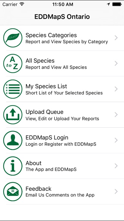
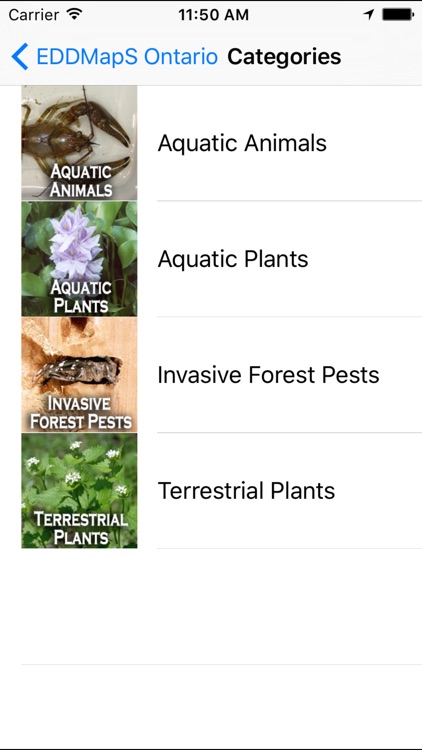
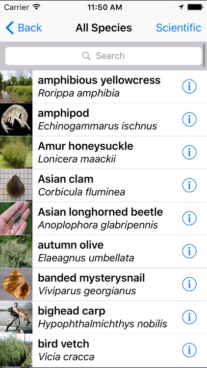
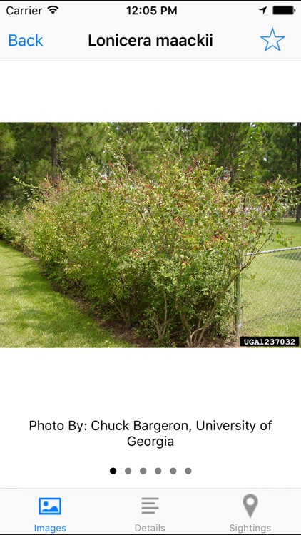
App Screenshots

App Store Description
EDDMapS Ontario brings the power of EDDMapS to your iOS device. Now you can submit invasive species observations directly with your iOS device from the field. These reports are uploaded to EDDMapS and e-mailed directly to local and state verifiers for review. EDDMapS Ontario was developed by the University of Georgia Center for Invasive Species and Ecosystem Health.
App developed by Jordan Daniel and Chuck Bargeron, University of Georgia – Center for Invasive Species and Ecosystem Health.
http://apps.bugwood.org/
EDDMapS Ontario was developed through the support and funding provided by the Canada/Ontario Invasive Species Centre, the Ontario Federation of Anglers and Hunters, and the Ontario Ministry of Natural Resources.
Features:
Easy species reporting that captures your current location and allows you to submit an image of your sightings. EDDMapS Ontario allows for both online and offline reporting with reports saved on your phone for uploading when you have network connectivity.
Images and information on Ontario's worst non-native invasive animals and plants.
Real-time point distribution maps centered on your current location.
Powered by EDDMapS - The University of Georgia Center for Invasive Species and Ecosystem Health's Early Detection and Distribution Mapping System. EDDMapS allows for real time tracking of invasive species occurrences using local and national distribution maps and electronic early detection reporting tools.
For more information about EDDMapS,
visit http://www.eddmaps.org/
Disclaimer:
AppAdvice does not own this application and only provides images and links contained in the iTunes Search API, to help our users find the best apps to download. If you are the developer of this app and would like your information removed, please send a request to takedown@appadvice.com and your information will be removed.
AppAdvice does not own this application and only provides images and links contained in the iTunes Search API, to help our users find the best apps to download. If you are the developer of this app and would like your information removed, please send a request to takedown@appadvice.com and your information will be removed.