You are using an outdated browser. Please
upgrade your browser to improve your experience.

GeoMapping’s multinational web based mapping solution is now available in the palm of your hand

GeoMapping
by Immix


What is it about?
GeoMapping’s multinational web based mapping solution is now available in the palm of your hand. Mappers can now create, optimize, secure and share all their data while on the go. We are continuously chosen by individuals and corporations as their go to, most cost effective and fastest mapping solution when compared to other more expensive, data throttled inferior mapping products. Come see what the industry is talking about and get started today.
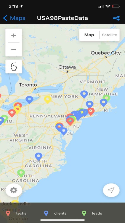
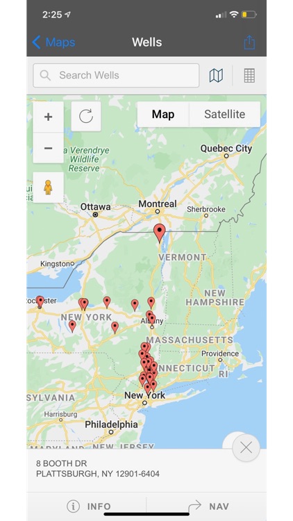
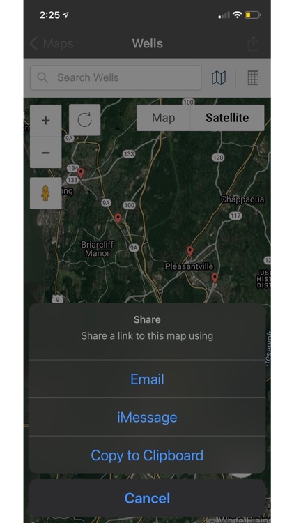
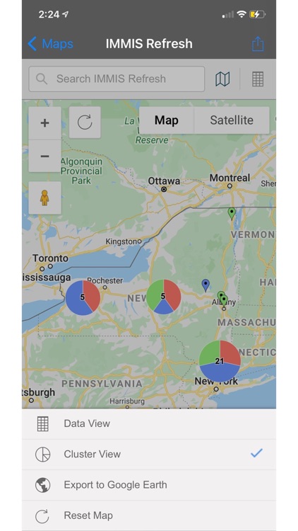
App Screenshots

App Store Description
GeoMapping’s multinational web based mapping solution is now available in the palm of your hand. Mappers can now create, optimize, secure and share all their data while on the go. We are continuously chosen by individuals and corporations as their go to, most cost effective and fastest mapping solution when compared to other more expensive, data throttled inferior mapping products. Come see what the industry is talking about and get started today.
Let’s get mapping!
Features:
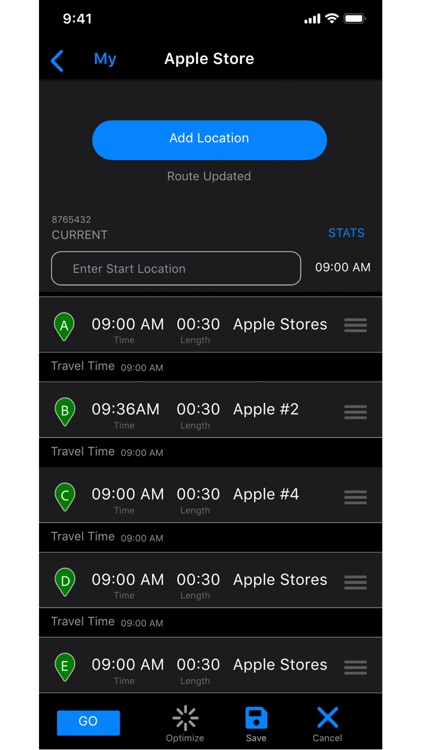
Route Optimization – Select any size grouping of pin points with our lasso and in seconds your map will be optimized giving you the best driving route possible.
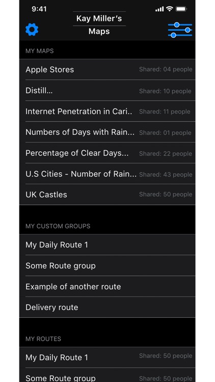
Data & Grouping – Zero limits on the number of data points you can use when creating your map.
Street View Integration – Preview property frontage photos using Google Maps Street View.
Export to PDF – We recognize your need to safely share maps. If you don’t want to provide full access to your map, simply convert it to pdf with one click and share with your team.
Heat Map Layering – We take your date and provide information in a density, thematic or heat map.
Enhanced Security – Your maps are always protected by the latest technology offered. Maps can be protected further by using password encryption access.
Disclaimer:
AppAdvice does not own this application and only provides images and links contained in the iTunes Search API, to help our users find the best apps to download. If you are the developer of this app and would like your information removed, please send a request to takedown@appadvice.com and your information will be removed.
AppAdvice does not own this application and only provides images and links contained in the iTunes Search API, to help our users find the best apps to download. If you are the developer of this app and would like your information removed, please send a request to takedown@appadvice.com and your information will be removed.