You are using an outdated browser. Please
upgrade your browser to improve your experience.
GIS SAR is Basarnas's application of location-based assisted search and rescue operations

GISLand Basarnas
by arie suryantoko
What is it about?
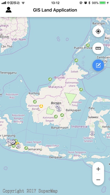
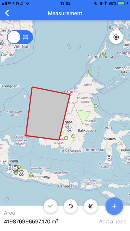
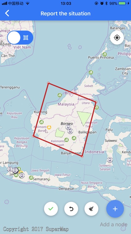
GIS SAR is Basarnas's application of location-based assisted search and rescue operations. It has the main functions of uploading location, reporting new disaster, get the best path to disaster, tasks management, Etc. It can help rescuer greatly speed up the efficiency of search and rescue, and improve the success rate of search and rescue operations.
App Store Description
GIS SAR is Basarnas's application of location-based assisted search and rescue operations. It has the main functions of uploading location, reporting new disaster, get the best path to disaster, tasks management, Etc. It can help rescuer greatly speed up the efficiency of search and rescue, and improve the success rate of search and rescue operations.
Disclaimer:
AppAdvice does not own this application and only provides images and links contained in the iTunes Search API, to help our users find the best apps to download. If you are the developer of this app and would like your information removed, please send a request to takedown@appadvice.com and your information will be removed.
AppAdvice does not own this application and only provides images and links contained in the iTunes Search API, to help our users find the best apps to download. If you are the developer of this app and would like your information removed, please send a request to takedown@appadvice.com and your information will be removed.