You are using an outdated browser. Please
upgrade your browser to improve your experience.

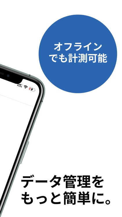
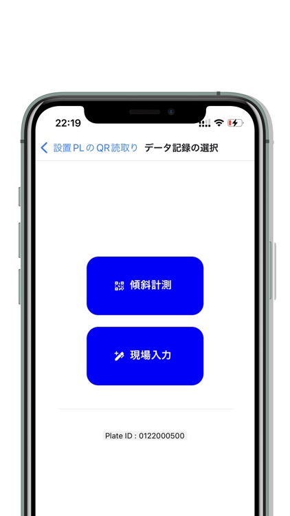
地図をベースにしたデータ管理により,いつどこで計測したデータかを,誰にも分かり易く表示できます.

Infra Studio / オフライン
by TOKYO TECH ENGINEERING SOLUTIONS, INC.

What is it about?
地図をベースにしたデータ管理により,いつどこで計測したデータかを,誰にも分かり易く表示できます.
App Screenshots
App Store Description
地図をベースにしたデータ管理により,いつどこで計測したデータかを,誰にも分かり易く表示できます.
地図をベースにしたデータ管理により,いつどこで計測したデータかを,誰にも分かり易く表示できます.
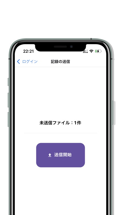
データや画像,現場写真などを,まとめてクラウドに保存できるため,ハードディスクやフォルダの管理などに悩まされません.
データを見るだけの人,変更する作業者の人,など,アクセス範囲の設定も簡単にできます.
Disclaimer:
AppAdvice does not own this application and only provides images and links contained in the iTunes Search API, to help our users find the best apps to download. If you are the developer of this app and would like your information removed, please send a request to takedown@appadvice.com and your information will be removed.
AppAdvice does not own this application and only provides images and links contained in the iTunes Search API, to help our users find the best apps to download. If you are the developer of this app and would like your information removed, please send a request to takedown@appadvice.com and your information will be removed.