You are using an outdated browser. Please
upgrade your browser to improve your experience.

FlyToMap Brings the Best Park Maps at your Finger Tips

Jervis Bay National Park GPS map with guide
by Flytomap
What is it about?
FlyToMap Brings the Best Park Maps at your Finger Tips!!!
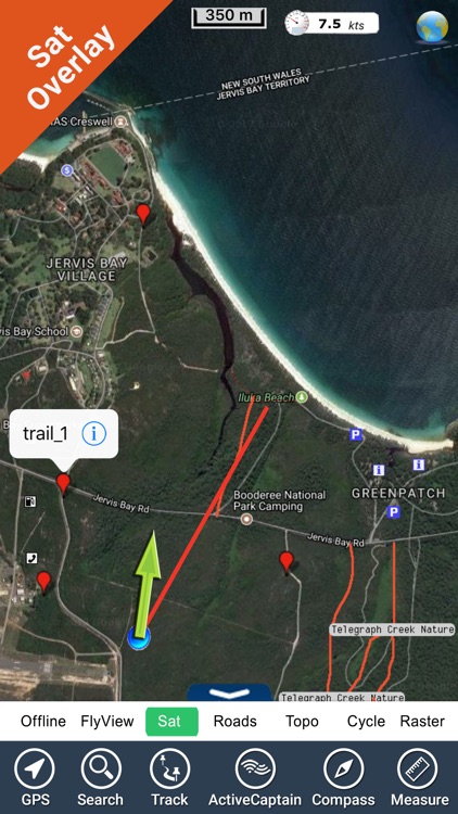
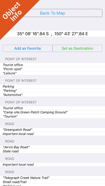
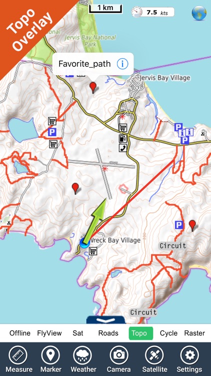
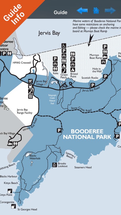
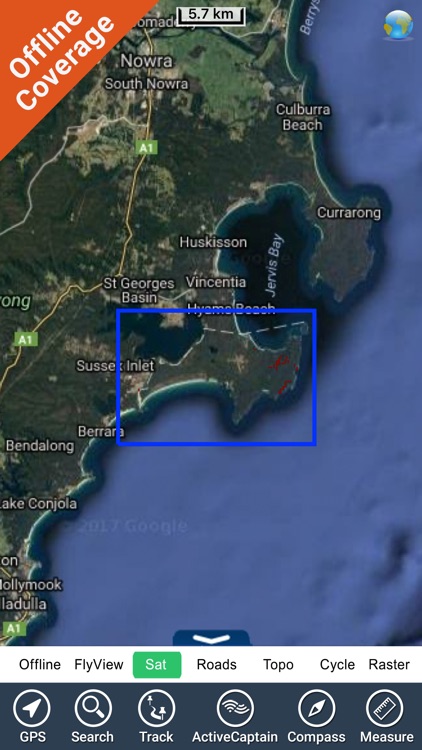
App Screenshots
App Store Description
FlyToMap Brings the Best Park Maps at your Finger Tips!!!
“Jervis Bay National Park” which is now also called “Booderee National Park”
“This park has many features - woodland and heath, wetland and lake, Sea grass beds, bays and beautiful beaches. Together they create a place that is especially beautiful.”
“The Park Forest, bays and beaches are popular for Bush walking, bird watching, canoeing, Picnics, Camping, Swimming or just unwinding and enjoying the tranquility.”
Jervis Bay said to possess the whitest sand in the world!
Park map applications are extremely advanced contains embedded electronic charts with all information collected from the National Park Service and local sources. The maps contain all multiple trails (Hiking, biking, Stairway trails, Bicycle trails, Equestrian trails etc.,) and Point of interests (POI) like Campgrounds, Eating places, Ranger Stations, Picnic areas, Boat/Canoe launching, Parking areas etc.,
Explore Map:
“Covers all Beaches Trails, Lakes and Rivers within the Parks”
“Elevation Contours with 10 meters interval”
“Mountain Summits”
“Search Favorites using Co-ordinates”
“Find Distance & Speed towards Destination”
“Insert Unlimited Markers on the map”
“Zoom, Rotate and Pan fast just by a finger touch”
“GPS position”
“Improved Photo Management”
“Manage Elevation Contours”
“Travel Guide for Quick Reference”
………………………………………………..More…
Every effort is made to be as accurate as possible when presenting information for every destination.
“Have a Great Journey"
"Continued use of GPS running in the background can dramatically decrease battery life."
Disclaimer:
AppAdvice does not own this application and only provides images and links contained in the iTunes Search API, to help our users find the best apps to download. If you are the developer of this app and would like your information removed, please send a request to takedown@appadvice.com and your information will be removed.
AppAdvice does not own this application and only provides images and links contained in the iTunes Search API, to help our users find the best apps to download. If you are the developer of this app and would like your information removed, please send a request to takedown@appadvice.com and your information will be removed.