You are using an outdated browser. Please
upgrade your browser to improve your experience.

The Live Satellite View GPS Map app includes the Live Earth Camera, Satellite Street View, My Location, Famous Attraction, and Area Distance Calculator

Live Satellite View GPS Map
by Shraddha Limbasiya

What is it about?
The Live Satellite View GPS Map app includes the Live Earth Camera, Satellite Street View, My Location, Famous Attraction, and Area Distance Calculator. Live Satellite View GPS Map displays interactively panoramas of stitched VR photographs. Photographs are captured by car, But some are captured by tricycle, camel, boat, snowmobile, underwater apparatus, and on foot.
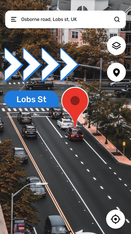
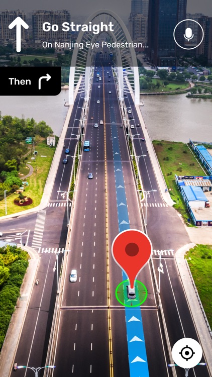
App Screenshots


App Store Description
The Live Satellite View GPS Map app includes the Live Earth Camera, Satellite Street View, My Location, Famous Attraction, and Area Distance Calculator. Live Satellite View GPS Map displays interactively panoramas of stitched VR photographs. Photographs are captured by car, But some are captured by tricycle, camel, boat, snowmobile, underwater apparatus, and on foot.
Live Satellite View GPS Map app gives the user the best ways to explore 360 views of famous locations or places worldwide. This app provides precise and approximate panoramic 3D & 360 street views. You can explore the whole world's 3D street views at your home.
You can explore places from around the world or use your phone to add new images for street view with these options:
• Photo Spheres (360° panoramas)
• Photo Paths (a series of connected photos along a street or trail)
• Street View (connected panoramas from a 360° camera)
Street View Map webcams are an instant source to provide you with views of the place in the world. It is the best app for street views & earth map explorers. Discover the world map with the global map in the Live Satellite View GPS Map app. This app allows you to explore the street view map of the earth globally in 3D. Animated Globe Map 3D makes it trouble-free for you to explore street views & world maps in 3D view. Live Satellite View GPS Map contains GPS Navigation & Voice Navigation to make your drive comfortable.
Benefits:
- Street View Map in 3D.
- GPS Navigation and Voice Navigation.
- 3D panorama street view and show 360 global map navigation.
- Real-time live earth GPS maps Using Speed Cams.
- HD live earth map to discover Famous Places.
your GPS location on Live Street Map App.
Live Satellite View GPS Map app helps you to find hotels, bus stations, banks, and airports. So, You can enjoy your trip and reach your desired location without hassle.
Features:
Live Earth Map HD
- The Satellite World app of world satellite maps can allow you to view the street in your area directly for a 3D panoramic view, find a live map and see both functions. GPS Satellite Direct Maps navigation and direction, finds information about your street.
Live Street View 360°
- Do you want to have a street view panorama 3D live map? It is worth downloading a free Live Street View to see any street live satellite view in real-time. As your Live Street GPS Navigation, you can also arrange your travel plan.
Latest Traffic Highlights
- Mobile Earth Camera and Satellite Mapping share current news for traffic in the area. Live satellite street view. Traffic obstructions and clearances will be mentioned from time to time on Live street view 360.
Draw a route using the Earth Map and see more navigation details. Live Navigation-related to live traffic updates help you find the easiest way. You can also find the location, building name, street name, or city name. You can change Earth Map in light and dark mode.
Download the free Live Satellite View GPS Map app and enjoy a live tour of the world with a live street view.
Subscription Details:
Subscription length: 1 Year, 3 months , 1 month
Live Satellite View GPS Map Subscription price: Rs. 2499/Year , Rs. 799/3 Month, Rs. 399/Month
Payment will be charged to iTunes Account at confirmation of purchase
Subscription automatically renews unless auto-renew is turned off at least 24-hours before the end of the current period
Account will be charged for renewal within 24-hours prior to the end of the current period, and identify the cost of the renewal
No cancellation of the current subscription is allowed during active subscription period
Any unused portion of a free trial period, if offered, will be forfeited when the user purchases a subscription to that publication, where applicable
Privacy Policy :- https://www.privacypolicycenter.com/shital_jadhav/privacy.html
Terms of Use :- https://www.privacypolicycenter.com/view_custom.php?v=eWdwS2F4WEVKN29xbyt2ejBUd0NvQT09&n=Live-Satellite-View-GPS-Map
Disclaimer:
AppAdvice does not own this application and only provides images and links contained in the iTunes Search API, to help our users find the best apps to download. If you are the developer of this app and would like your information removed, please send a request to takedown@appadvice.com and your information will be removed.
AppAdvice does not own this application and only provides images and links contained in the iTunes Search API, to help our users find the best apps to download. If you are the developer of this app and would like your information removed, please send a request to takedown@appadvice.com and your information will be removed.