You are using an outdated browser. Please
upgrade your browser to improve your experience.

Manpo (漫歩/漫步) is a Japanese / Chinese word that means ramble or stroll (having a walk around)

Manpo
by 東京大学空間情報科学研究センター

What is it about?
Manpo (漫歩/漫步) is a Japanese / Chinese word that means ramble or stroll (having a walk around). This app Manpo is mainly designed for walking tours with maps of various kinds. With Manpo, you can import analog maps, such as hand-drawn maps, illustrated maps, old maps, and so on, to your iPhone or iPad, enhance them with multimedia content for self-guided tours, storytelling or personal memorial. With Manpo, the analog maps can be geo-enabled for GPS positioning. You can view your current location and moving trajectories on the geo-enabled analog maps and access the nearby content on the maps.
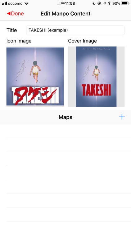
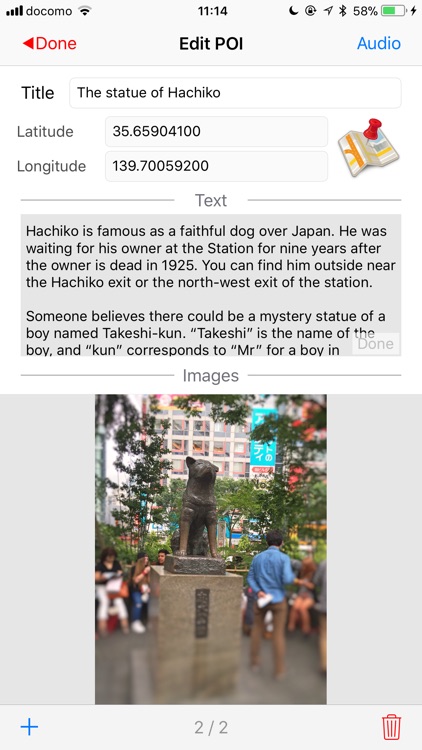
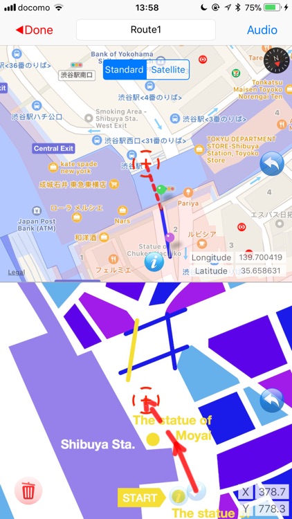
App Screenshots

App Store Description
Manpo (漫歩/漫步) is a Japanese / Chinese word that means ramble or stroll (having a walk around). This app Manpo is mainly designed for walking tours with maps of various kinds. With Manpo, you can import analog maps, such as hand-drawn maps, illustrated maps, old maps, and so on, to your iPhone or iPad, enhance them with multimedia content for self-guided tours, storytelling or personal memorial. With Manpo, the analog maps can be geo-enabled for GPS positioning. You can view your current location and moving trajectories on the geo-enabled analog maps and access the nearby content on the maps.
Edit Functions of Manpo:
1. Import map images from iPhone/iPad's photos or computers through iTunes.
2. Create POI (point of interest) on the map image with photos, audio, text, and correspond it to a geographic location
3. Create lines of routes on the map image with audio guides
4. Create control points on the map image for improving the accuracy of the positioning on analog maps
Browse Functions of Manpo:
1. View the imported analog maps and multimedia content with touchscreen functions
2. Show current location and moving trajectory on the analog maps
3. Invoke the nearby POI using location information
4. Take your own photos of a POI
5. Appreciate audio guide along the walking route
6. Playback the trajectory after your tour
Manual:
http://ubimap.csis.u-tokyo.ac.jp/manpoproject/index.php/manpo-top/how-to-use-manpo
The example data come from the app TAKESHI:
https://itunes.apple.com/app/takeshi/id1060351739
Disclaimer:
AppAdvice does not own this application and only provides images and links contained in the iTunes Search API, to help our users find the best apps to download. If you are the developer of this app and would like your information removed, please send a request to takedown@appadvice.com and your information will be removed.
AppAdvice does not own this application and only provides images and links contained in the iTunes Search API, to help our users find the best apps to download. If you are the developer of this app and would like your information removed, please send a request to takedown@appadvice.com and your information will be removed.