You are using an outdated browser. Please
upgrade your browser to improve your experience.

Visualized METAR and TAF weather information for all airports in the world

Metar-Taf
by Eveline van den Boom


What is it about?
Visualized METAR and TAF weather information for all airports in the world. Concise summary of everything you need to know about today's aviation weather.
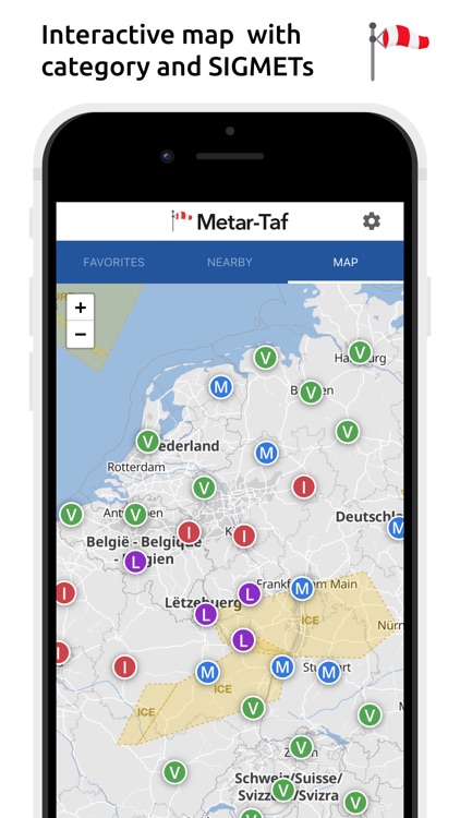
App Screenshots


App Store Description
Visualized METAR and TAF weather information for all airports in the world. Concise summary of everything you need to know about today's aviation weather.
METAR features:
- Visualized in easy to understand and colourful metrics
- Weather symbols for significant weather and clouds, like in a non-aviation weather report
- Crosswind calculations, by combining METAR and runway information
- Flight rules category: VFR, MVFR, IFR, LIFR
- Read out by text-to-speech available, listen to a decoded METAR while doing other things
TAF features:
- TAF broken down and displayed per hour in a table
- Show sunrise/sunset, minimum and maximum temperature
NOTAM features:
- Timeline with NOTAMs sorted by issue date
- Coordinates from NOTAMs plotted on map
Keeping track:
- Add your favorite stations to the list, see their weather at a glance
- Get observations near your location
- Find stations in the interactive map with weather codes
- Search airports by ICAO code or name
History:
- Graphs with weather trends today and yesterday: temperature, visibility, wind speed, QNH
- METAR history for the last hours and link to more on the website
Airport information:
- See information about the airports, like runway directions, elevation, location
- If the airport doesn't report a METAR, the nearest station used for calculations
Calculations:
- All units are customizable units: speed (knots, km/h, m/s, mph), altitude (meters/feet), visibility (kilometers/miles), temperature (Celcius/Fahrenheit) and air pressure (Hectopascal, Inch Hg)
- Times are converted to the local time for each airport
- Sunrise and sunset are calculated based on the airports latitude/longitude
General:
- METAR, TAF and airport data are automatically saved for offline use
- Available in 6 languages: English, Dutch, Spanish, Portuguese, German and French
Disclaimer:
AppAdvice does not own this application and only provides images and links contained in the iTunes Search API, to help our users find the best apps to download. If you are the developer of this app and would like your information removed, please send a request to takedown@appadvice.com and your information will be removed.
AppAdvice does not own this application and only provides images and links contained in the iTunes Search API, to help our users find the best apps to download. If you are the developer of this app and would like your information removed, please send a request to takedown@appadvice.com and your information will be removed.