You are using an outdated browser. Please
upgrade your browser to improve your experience.
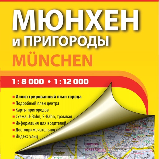
We present an electronic version of the printed map of Munich, which is brought to you by a cartographic publishing house Discus Media

Munich and its suburbs. Tourist and road map.
by AGT Geocentre
What is it about?
We present an electronic version of the printed map of Munich, which is brought to you by a cartographic publishing house Discus Media.
App Screenshots
App Store Description
We present an electronic version of the printed map of Munich, which is brought to you by a cartographic publishing house Discus Media.
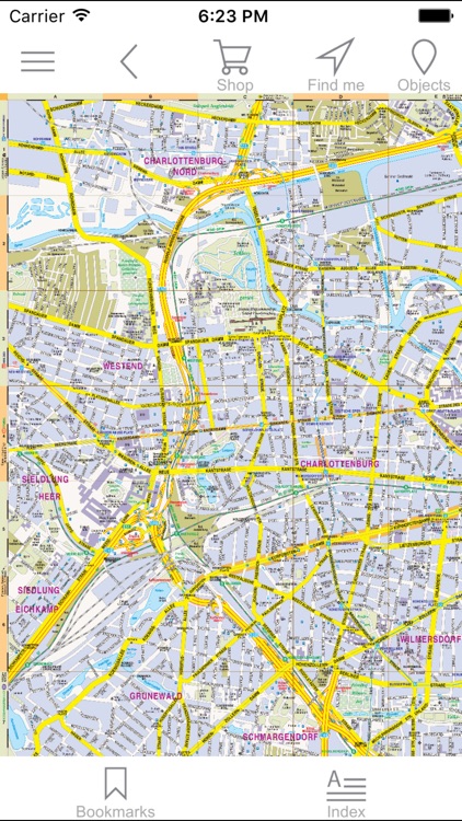
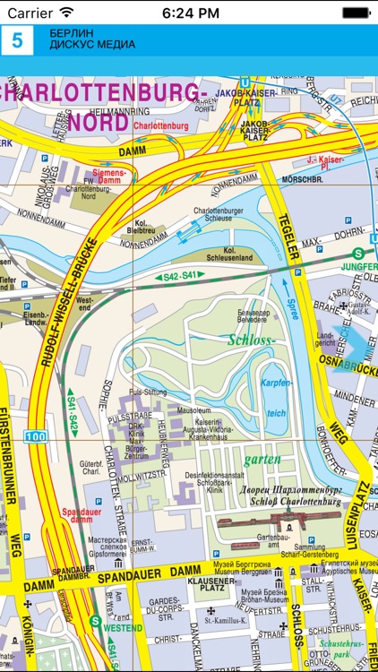
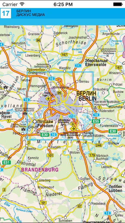
The edition contains a detailed map of the city and key maps of its suburbs, as well as maps of the city’s transport, Nymphenburg Palace, and Franz Josef Shtraus airport.
The most interesting buildings are shown as 3-D pictures. All objects, which may be of interest to tourists, as well as markets, hospitals, and institutions of learning are marked. Tramway lines and stops, S-Bahn and U-Bahn lines and stations, railway lines and stations are shown. One-way streets, pedestrian zones and parking sites are indicated.
Munich suburbs’ maps have places of interest for tourists shown on them, as well as sights, roads with their types and numbers, and railways.
The edition features indexes of Munich’s streets and main sights (palaces, museums, theatres, temples, shops) in German and Russian. All maps are presented in two languages.
Printed editions have something magical, something that does not exist in their electronic equivalents. They were created by living people, who labored over each centimeter of the map, they were not created by robots. We decided to combine these achievements of the print editions with the new possibilities of contemporary electronic platforms.
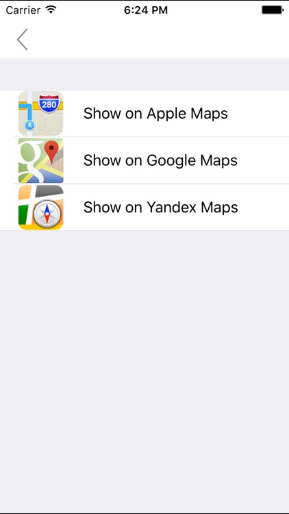
Our app is not intended as a replacement for GPS navigators, Apple Maps, GоogleMaps, YandexMaps, etc. This is why you can transit from any map section to a corresponding section of a service of your choosing (Apple Maps, Gоogle Maps, YandexMaps) and back again.
Highlights of the app:
1. You can work offline.
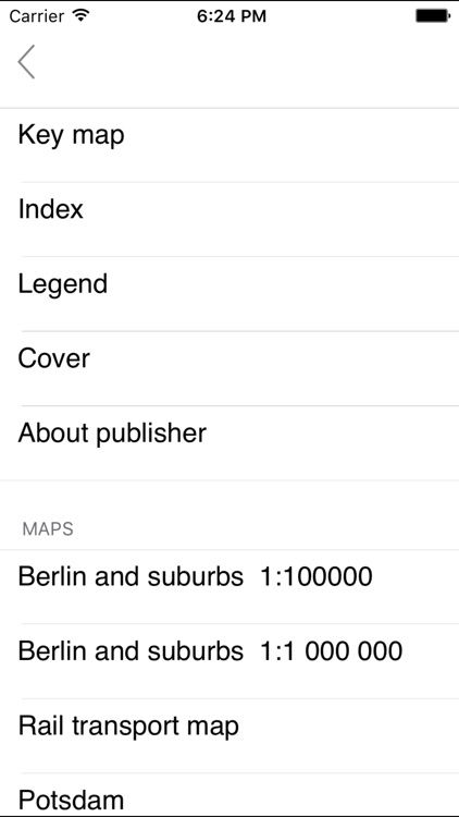
2. You can navigate your way to any desired map section through the traditional index map or simply by turning pages.
3. You have the ability to magnify individual parts of a map, bookmark interesting pages, search by street names, underground stations, railway stations, sights, etc.
4. You have the ability to add your own information to the map (comments, addresses, telephone numbers – including the ability to dial directly from within the app).
5. When online, you can transit from any map section to a corresponding section of a service of your choosing (Apple Maps, Gоogle Maps, YandexMaps) and back again.
The advantages of the electronic version of the map:
- It does not bend, tear or become lost at the most inopportune moment.
- The ease with which you can search, magnify and examine details, add notes and additional information – utilizing the power and features of today’s devices.
- It has something magical, something that does not exist in its electronic equivalents. The map was created by living people, who labored over each centimeter of the map, it was not created by robots. And it has all possibilities of contemporary electronic platforms (smartphones, tablets and other gadgets).
The quality and art of traditional paper maps is being replaced by much less attractive automated digital maps. Our app brings these excellent paper maps into the mobile age, helping to ensure they continue to provide you with both knowledge and enjoyment – it would be a tragedy if they were relegated only to libraries, inaccessible to most people. We want to give a second life to paper maps. This app is for people who love good old printed maps and want to go with the times.
Disclaimer:
AppAdvice does not own this application and only provides images and links contained in the iTunes Search API, to help our users find the best apps to download. If you are the developer of this app and would like your information removed, please send a request to takedown@appadvice.com and your information will be removed.
AppAdvice does not own this application and only provides images and links contained in the iTunes Search API, to help our users find the best apps to download. If you are the developer of this app and would like your information removed, please send a request to takedown@appadvice.com and your information will be removed.