You are using an outdated browser. Please
upgrade your browser to improve your experience.

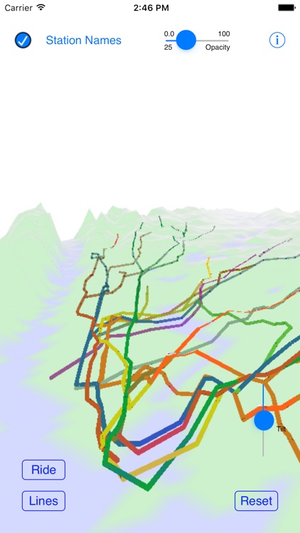
This is a 3D map of the New York City Subway system, using actual ground elevations, track depths and station locations

New York City Subway 3D Map
by Geoffrey Domm

What is it about?
This is a 3D map of the New York City Subway system, using actual ground elevations, track depths and station locations.
App Screenshots
App Store Description
This is a 3D map of the New York City Subway system, using actual ground elevations, track depths and station locations.
The map can be manipulated by standard iOS gestures to zoom, pan, rotate and tilt the map.
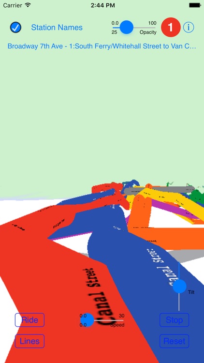
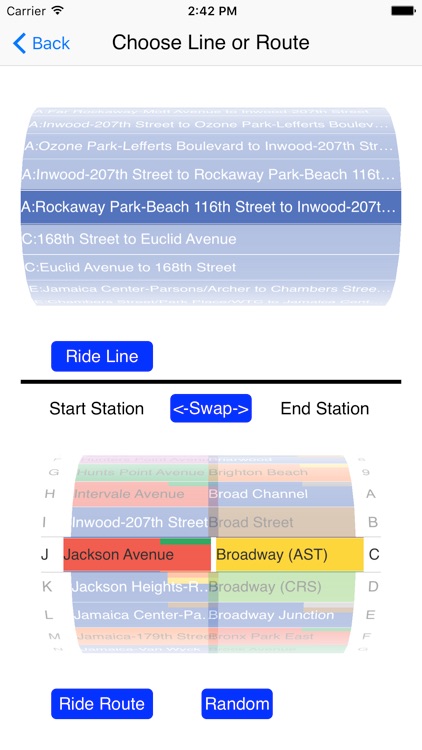
You can take a simulated ride on any of the system's lines, or choose a start and end station and ride on a calculated route between the two stations.
Disclaimer:
AppAdvice does not own this application and only provides images and links contained in the iTunes Search API, to help our users find the best apps to download. If you are the developer of this app and would like your information removed, please send a request to takedown@appadvice.com and your information will be removed.
AppAdvice does not own this application and only provides images and links contained in the iTunes Search API, to help our users find the best apps to download. If you are the developer of this app and would like your information removed, please send a request to takedown@appadvice.com and your information will be removed.