You are using an outdated browser. Please
upgrade your browser to improve your experience.
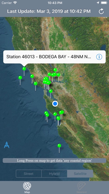
Best map for Boaters, Sailors, Fishermen, Divers

NOAA Buoy Stations and Ships
by Vishwam B
What is it about?
Best map for Boaters, Sailors, Fishermen, Divers!
App Screenshots
App Store Description
Best map for Boaters, Sailors, Fishermen, Divers!
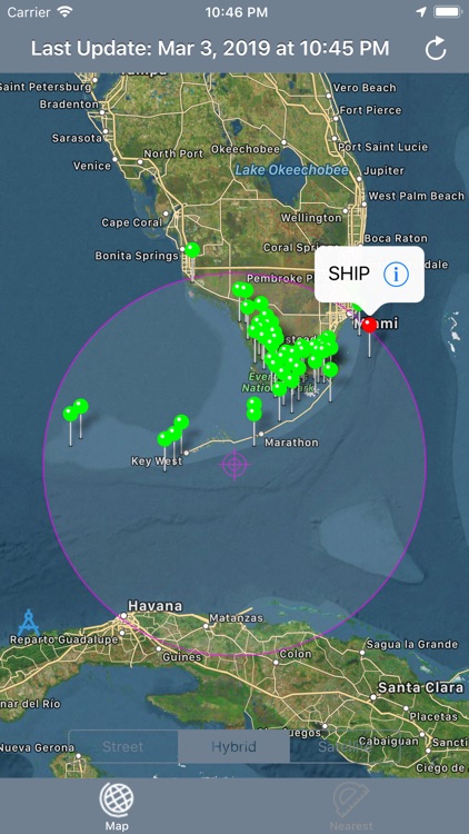
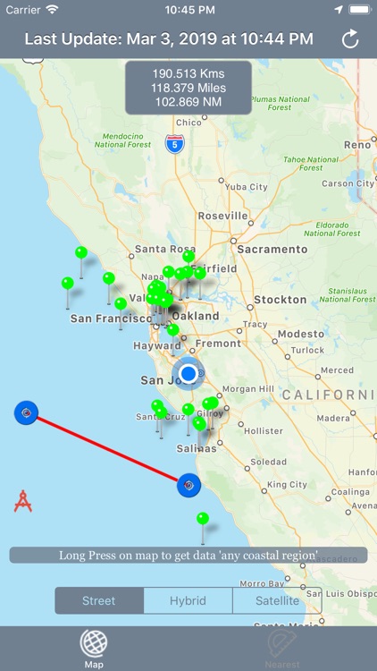
New feature shows nautical miles coverage radius circle and buoy stations and ships with in it.
Custom search allows get buoys data for any desired region (Long press on map along the coast to get buoy stations or available ships data).
The NOAA Buoys Stations and Ships map is a unique app that allow you to retrieve weather data and real time ship positions data from NOAA's National Data Buoy Centre based on your current GPS location.
All Buoy Stations and Ships are displayed on the maps (Street, Hybrid, Satellite)
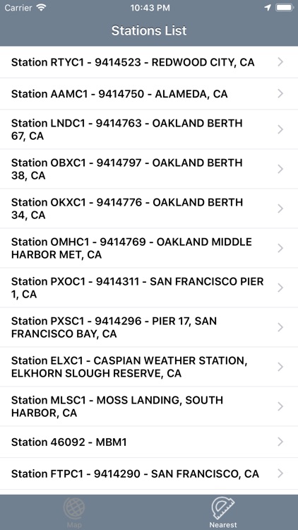
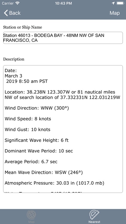
Search Nearest Stations and get all the NOAA information for Wind Speed, Wind Direction, Wind Gust, Air Temperature, Water Temperature, Dew Point and more parameters…
Please note that Internet connection is required to access data from NOAA NDBC.
Disclaimer:
AppAdvice does not own this application and only provides images and links contained in the iTunes Search API, to help our users find the best apps to download. If you are the developer of this app and would like your information removed, please send a request to takedown@appadvice.com and your information will be removed.
AppAdvice does not own this application and only provides images and links contained in the iTunes Search API, to help our users find the best apps to download. If you are the developer of this app and would like your information removed, please send a request to takedown@appadvice.com and your information will be removed.