You are using an outdated browser. Please
upgrade your browser to improve your experience.
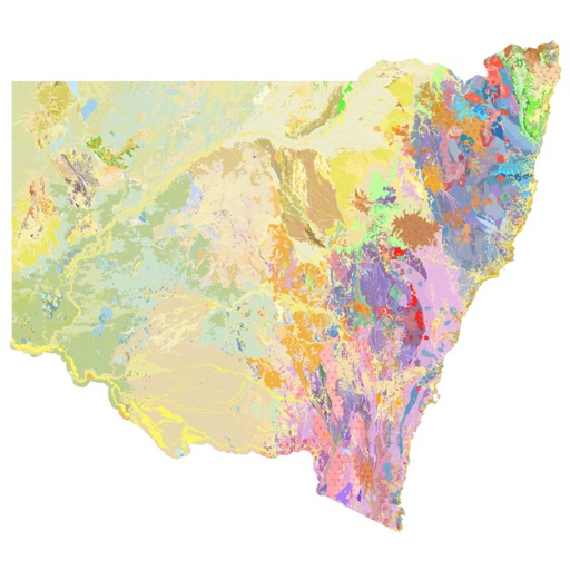
View geology maps and airborne geophysical images produced by the Geological Survey of NSW (Australia)

NSW Geology Maps
by Geological Survey of NSW
What is it about?
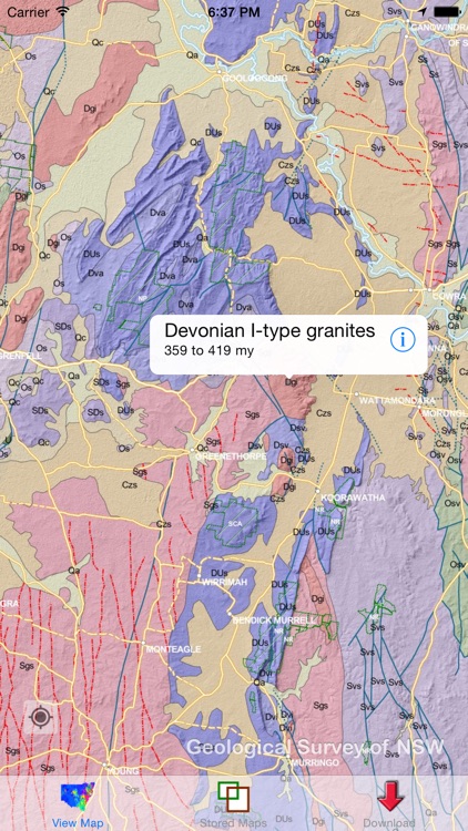
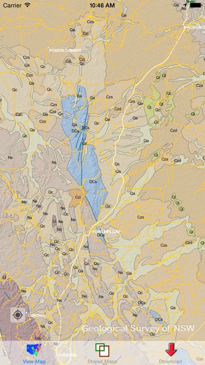
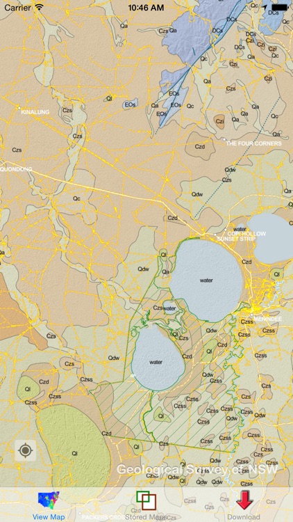
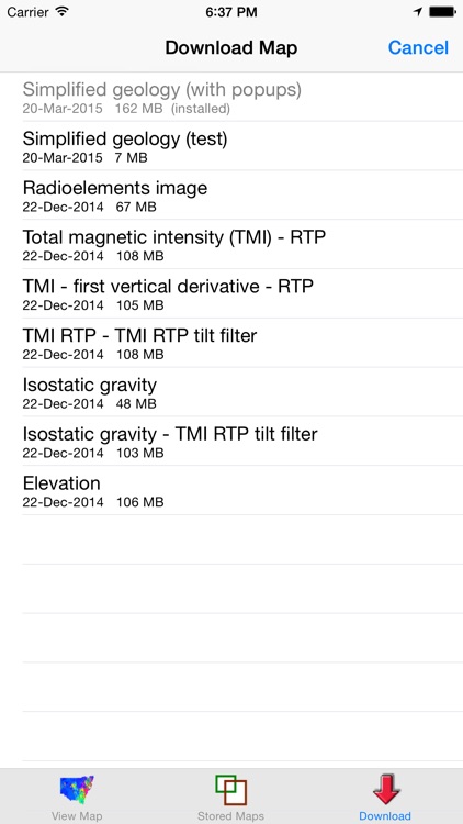
View geology maps and airborne geophysical images produced by the Geological Survey of NSW (Australia). The maps and images are downloaded to your phone so that no mobile reception is required in the field. Your location is always indicated on the map, and the map can be re-centred to your current location at any time with just one touch. The simplified geology map displays 106 broad rock types and is interactive. When the screen is touched the name and age of the underlying rock type is displayed in a pop-up. When the pop-up is touched, additional information is displayed. A detailed geology map of the eastern part of NSW will soon be available. This will also be interactive and provide information on approximately 3,000 rock units.
App Screenshots
App Store Description
View geology maps and airborne geophysical images produced by the Geological Survey of NSW (Australia). The maps and images are downloaded to your phone so that no mobile reception is required in the field. Your location is always indicated on the map, and the map can be re-centred to your current location at any time with just one touch. The simplified geology map displays 106 broad rock types and is interactive. When the screen is touched the name and age of the underlying rock type is displayed in a pop-up. When the pop-up is touched, additional information is displayed. A detailed geology map of the eastern part of NSW will soon be available. This will also be interactive and provide information on approximately 3,000 rock units.
A useful tool for NSW geologists, engineers, farmers, environmental consultants and students and anyone interested in geology, landforms and soils.
Note that when you first run the app, the simplified geology map of NSW is downloaded automatically, but you can pause or cancel this download at any time.
Disclaimer:
AppAdvice does not own this application and only provides images and links contained in the iTunes Search API, to help our users find the best apps to download. If you are the developer of this app and would like your information removed, please send a request to takedown@appadvice.com and your information will be removed.
AppAdvice does not own this application and only provides images and links contained in the iTunes Search API, to help our users find the best apps to download. If you are the developer of this app and would like your information removed, please send a request to takedown@appadvice.com and your information will be removed.