You are using an outdated browser. Please
upgrade your browser to improve your experience.
Want to explore our constantly changing Earth through high resolution multi-spectral satellite imagery

ObservedEarth
by Lachlan Hurst

What is it about?
Want to explore our constantly changing Earth through high resolution multi-spectral satellite imagery? ObservedEarth simplifies the process of obtaining, processing, and visualising earth observation data.
App Screenshots

App Store Description
Want to explore our constantly changing Earth through high resolution multi-spectral satellite imagery? ObservedEarth simplifies the process of obtaining, processing, and visualising earth observation data.
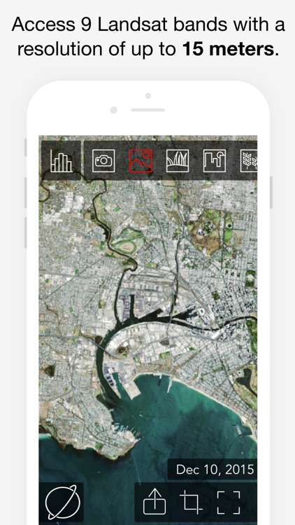
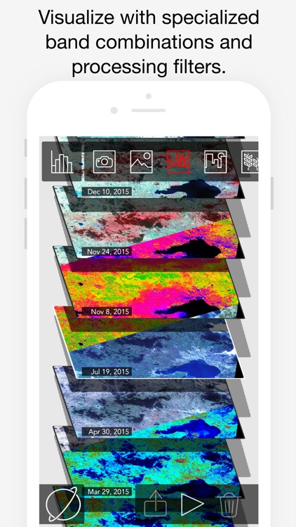
Since 1972 NASA and the United States Geological Survey (USGS) has been obtaining satellite imagery with its Landsat program, this data is archived and is made publicly available. Landsat images are available for the entire globe with a spatial resolution of up to 15m, temporal resolution of 16 days. New images are uploaded daily, often within hours of the satellite passing overhead.
ObservedEarth sources Landsat8 data from a public repository with data dating back to 2013, it consists of well over 400,000 images all with a rich level of detail. Each image is broken down into a number of spectral bands; this includes visible light spectrums (red, green and blue) and a range of infrared images. ObservedEarth includes a number of processing filters designed to highlight specific features of interest. Once you've found something share your discoveries on social media by exporting images, animated GIFs, or videos.
Earth observation data has a large number of monitoring uses: deforestation, mining, bushfires, urban development, farming, dam and river water levels, glacier melts, snowfalls, locating shipwrecks, and many more. ObservedEarth is aimed at opening up access to data for users with little technical background in the field of remote sensing.
Disclaimer:
AppAdvice does not own this application and only provides images and links contained in the iTunes Search API, to help our users find the best apps to download. If you are the developer of this app and would like your information removed, please send a request to takedown@appadvice.com and your information will be removed.
AppAdvice does not own this application and only provides images and links contained in the iTunes Search API, to help our users find the best apps to download. If you are the developer of this app and would like your information removed, please send a request to takedown@appadvice.com and your information will be removed.