You are using an outdated browser. Please
upgrade your browser to improve your experience.

Using OrbisMaps you can Collect, aggregate, and share drilling and construction data with your team in real-time

OrbisMaps
by Drill Maps LLC


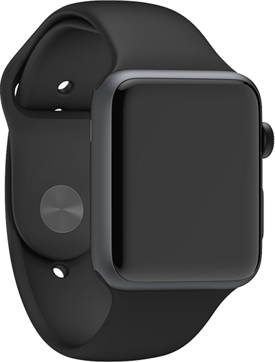

OrbisMaps Offers Apple Watch App
Check the details on WatchAware
Check the details on WatchAware
What is it about?
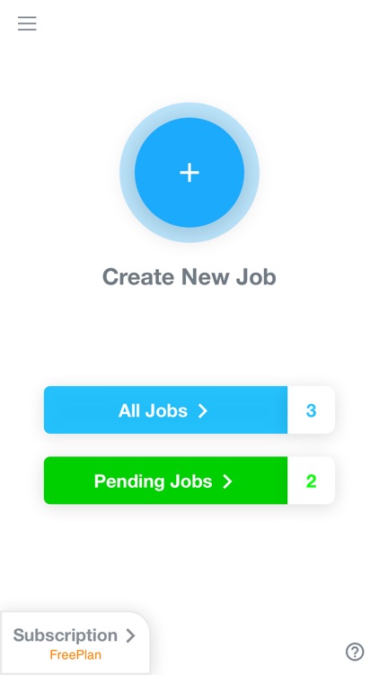
Using OrbisMaps you can Collect, aggregate, and share drilling and construction data with your team in real-time. Our multi platform cloud based infrastructure enables construction contractors to digitize their construction data, help surveyors collect survey data digitally and map them on Google maps in high accuracy also enabling them to create invoice digitally from our website.
App Screenshots
App Store Description
Using OrbisMaps you can Collect, aggregate, and share drilling and construction data with your team in real-time. Our multi platform cloud based infrastructure enables construction contractors to digitize their construction data, help surveyors collect survey data digitally and map them on Google maps in high accuracy also enabling them to create invoice digitally from our website.
OrbisMaps has offline data collection capability which helps contractors collect data offline in places where internet connection is spotty.
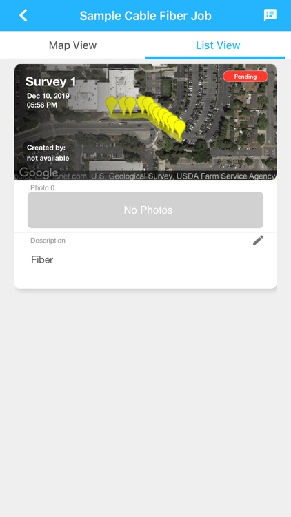
High Resolution maps: Collect data in high resolution on Google Maps
Manage Teams with Subscription: Manage teams with online roles based subscription model.
Share Team progress: Simultaneously work with your team members and review progress in real time on App or website in real time.
Invoicing: Invoice customers directly from our website.
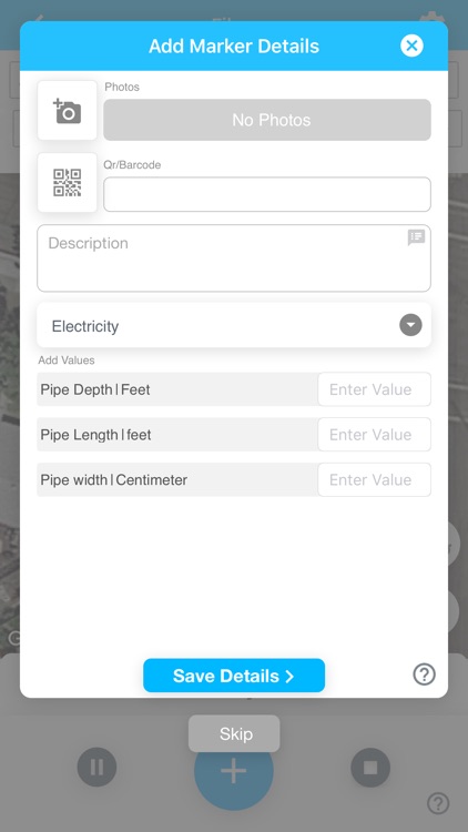
Centimeter level accuracy: Collect data in centimeter level accuracy with RTK or correction from other devices.
Data Import: Import data from other systems.
Map Annotations: Draw directly on the map and share the details.
Photos: Take pictures for construction sites and share it with the team.
QR/Bar Codes: Scan QR/Bar codes directly from the app.
Custom Templates: Create custom templates for data collection to suit your needs.
Disclaimer:
AppAdvice does not own this application and only provides images and links contained in the iTunes Search API, to help our users find the best apps to download. If you are the developer of this app and would like your information removed, please send a request to takedown@appadvice.com and your information will be removed.
AppAdvice does not own this application and only provides images and links contained in the iTunes Search API, to help our users find the best apps to download. If you are the developer of this app and would like your information removed, please send a request to takedown@appadvice.com and your information will be removed.