You are using an outdated browser. Please
upgrade your browser to improve your experience.
RASR (Rapid Assessment Shoreline Response) is our app designed to enable the fast and efficient collection of shoreline information for a wide variety of response and surveying scenarios

Rapid Shoreline Response
by SpillConsult Ltd

What is it about?
RASR (Rapid Assessment Shoreline Response) is our app designed to enable the fast and efficient collection of shoreline information for a wide variety of response and surveying scenarios.
App Screenshots

App Store Description
RASR (Rapid Assessment Shoreline Response) is our app designed to enable the fast and efficient collection of shoreline information for a wide variety of response and surveying scenarios.
There are three different survey types available, depending on your objectives:
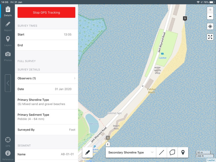
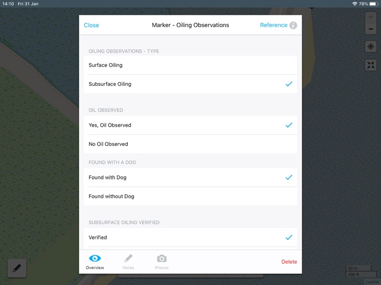
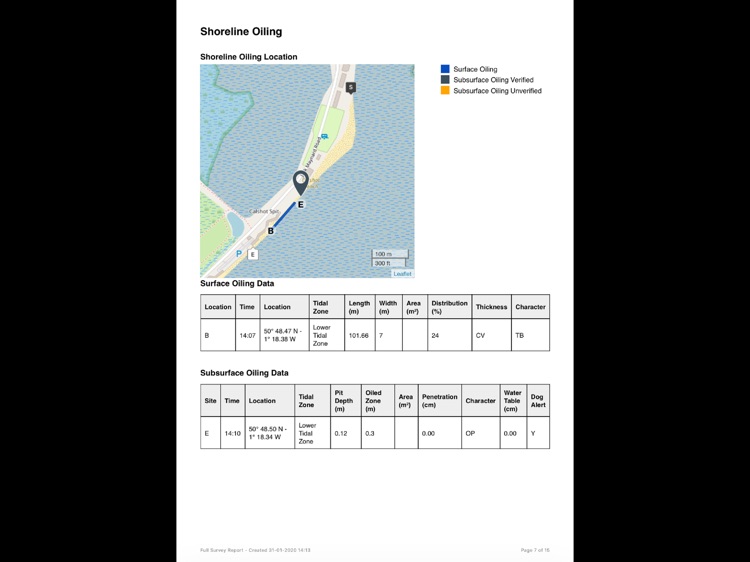
• Full Survey: can be used for in depth shoreline assessments, allowing the collection of shoreline types, oiling observations, response features, debris and snow/ice conditions.
• Triage Survey: can be used for initial shoreline assessments to determine which areas may require further surveying and the extent and distribution of oil on shorelines.
• Shoreline Inspection Report: is for monitoring changes in the shoreline to determine if a clean-up should be implemented.
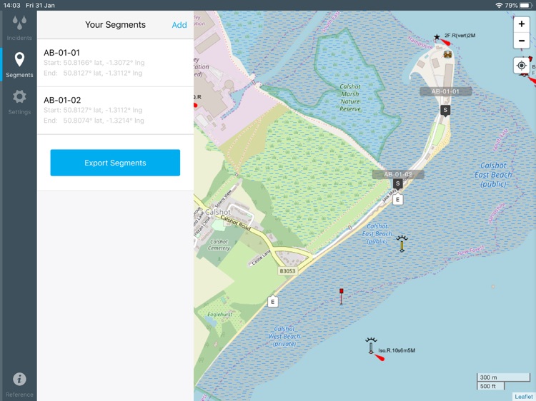
The app is also designed to be used by SCAT (Shoreline Clean-up Assessment) teams, to capture all the information to produce automatic SOS reports alongside the standard full report. There is also the option to survey by segment, which allows you to pre-define the start and stop points for each survey to create consistent reports amongst teams.
The app is also supported with a technical reference library which can be accessed at any point.
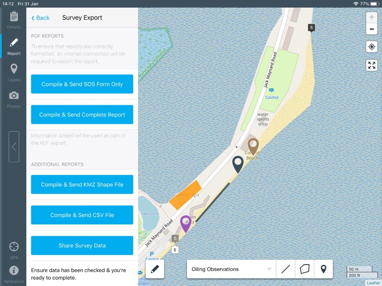
Data can be exported as a customised PDF report, KMZ, CSV, or can be shared with another RASR app user.
Our apps are not for profit, and the cost of the app goes towards ongoing maintenance and updates.
Disclaimer:
AppAdvice does not own this application and only provides images and links contained in the iTunes Search API, to help our users find the best apps to download. If you are the developer of this app and would like your information removed, please send a request to takedown@appadvice.com and your information will be removed.
AppAdvice does not own this application and only provides images and links contained in the iTunes Search API, to help our users find the best apps to download. If you are the developer of this app and would like your information removed, please send a request to takedown@appadvice.com and your information will be removed.