You are using an outdated browser. Please
upgrade your browser to improve your experience.
Redmap (Range Extension Database and Mapping project) is a citizen science research project that invites Australians to share (or “log”) sightings of marine species observed that are ‘uncommon’ to their local seas

Redmap
by Condense Pty Ltd


What is it about?
Redmap (Range Extension Database and Mapping project) is a citizen science research project that invites Australians to share (or “log”) sightings of marine species observed that are ‘uncommon’ to their local seas. The species identification of these sightings is verified by a panel of Australian expert marine scientists. Over time, Redmap will use this ‘citizen science’ data to map which Australian marine species may be shifting where they live in response to changes in the marine environment, such as ocean warming/climate change.
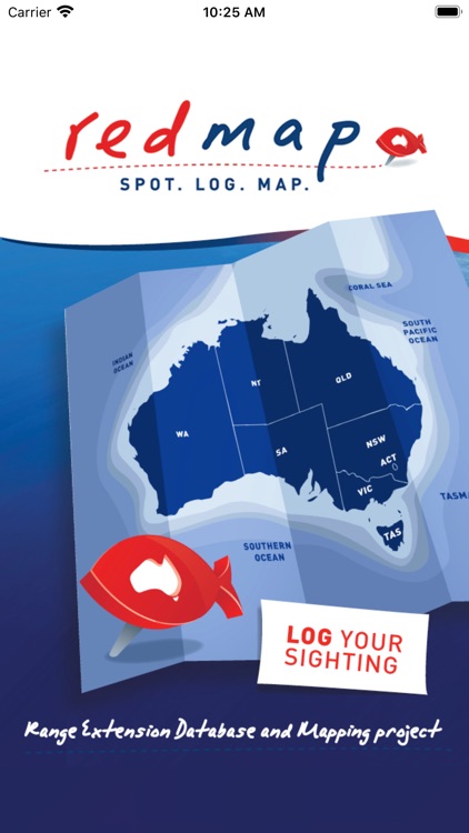
App Screenshots


App Store Description
Redmap (Range Extension Database and Mapping project) is a citizen science research project that invites Australians to share (or “log”) sightings of marine species observed that are ‘uncommon’ to their local seas. The species identification of these sightings is verified by a panel of Australian expert marine scientists. Over time, Redmap will use this ‘citizen science’ data to map which Australian marine species may be shifting where they live in response to changes in the marine environment, such as ocean warming/climate change.
The Institute for Marine and Antarctic Studies (IMAS) at the University of Tasmania has partnered with research institutes across the country to help monitor species distributions in the marine environment. Citizen scientists – fishers, divers, boaters and beachcombers-can contribute their knowledge of the seas to help monitor Australia’s vast coastline. The citizen science data collected highlights regions and species that may be experiencing important distribution changes, so that research can be focused into these areas.
Inspiring Australia and NSW Government Environmental Education Trust Fund provided funding (with support from IMAS and the University of Newcastle) for the development and production of a beautiful and easy-to-use tool allowing photo sightings of unusual marine sightings for any particular area to be submitted to Redmap. The app also contains information on Redmap species that are highlighted in each coastal region as those that are important to look out for. The species information provided includes pictures and basic biology as well as distribution maps.
The app also allows individuals to build their own map and catalogue of submitted sightings (sightings will appear on the public website after verification by our science team).
Download and start to spot, log and map today!
For more information or to provide feedback on this app, please see the Redmap website www.redmap.org.au
Available for iPhone and iPod touch, iOS version 6.1 or higher.
Disclaimer:
AppAdvice does not own this application and only provides images and links contained in the iTunes Search API, to help our users find the best apps to download. If you are the developer of this app and would like your information removed, please send a request to takedown@appadvice.com and your information will be removed.
AppAdvice does not own this application and only provides images and links contained in the iTunes Search API, to help our users find the best apps to download. If you are the developer of this app and would like your information removed, please send a request to takedown@appadvice.com and your information will be removed.