You are using an outdated browser. Please
upgrade your browser to improve your experience.

Paper Maps — Hike & Bike in San Diego's premier open space parks

San Diego Hikes
by ePi Rational, Inc.
What is it about?
Paper Maps — Hike & Bike in San Diego's premier open space parks. A Paper Map is needed for every trail.
App Screenshots

App Store Description
Paper Maps — Hike & Bike in San Diego's premier open space parks. A Paper Map is needed for every trail.
Use your GPS to see your location on the trail.
Features
— Topo maps and contour maps of San Diego Bike and Hike trails
— Contours in Imperial units (feet instead of meters)
— Hikes added for:
— Torrey Pines State Natural Reserve
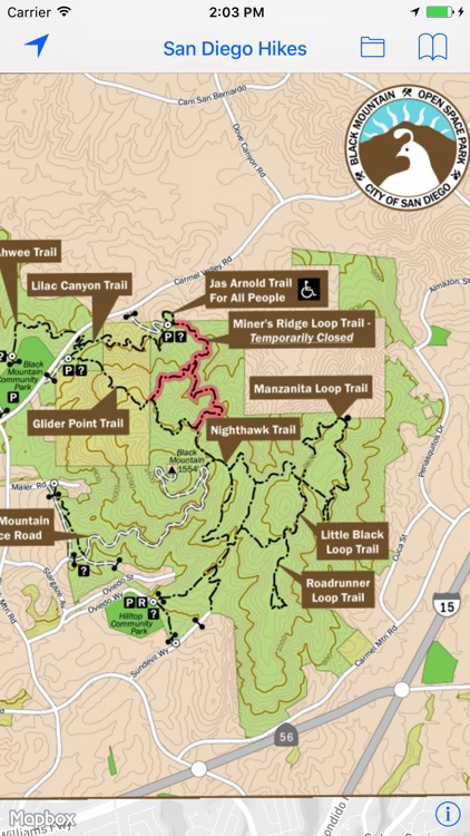
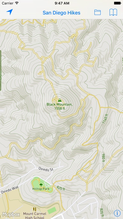
— Black Mountain Open Space Preserve
— Mission Trails Regional Park
— Mount Woodson
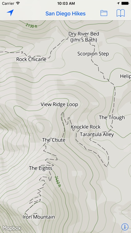
— Iron Mountain
— Daley Ranch/Lake Dixon
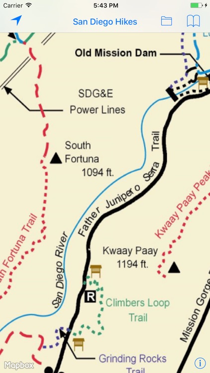
With over 7,000 acres, Mission Trails is one of the largest urban parks in the country, providing opportunities for recreation as well as native flora and fauna viewing. Mission Trails is home to Cowles Mountain, East Fortuna Staging Area (Equestrian Staging Area), Kumeyaay Lake and Campground, Old Mission Dam Historic Site, Kwaay Paay Peak, and many additional areas to hike, bike, observe and explore.
Black Mountain Open Space Park is owned and managed by the City of San Diego and is made up of a series of chaparral and sage covered hills, ridges, and canyons. The park is currently 2,352 acres.
Mount Woodson and Iron Mountain are located in Poway.
Usage
— Pan to move
— Pinch to zoom
— Use two fingers to rotate
— Double-tap to zoom in one level
— Two-finger single-tap to zoom out one level
— Double-tap, long-pressing the second, then pan up and down to "quick zoom" (one hand mode)
Legal —
This application and its supporting data are provided as a free service to hikers and bikers. We believe the information, its presentation and the computations based upon it are accurate but they may contain errors. This application and its supporting data are distributed in the hope they will be useful, but are conveyed WITHOUT ANY WARRANTY and without implied warranty of MERCHANTABILITY or FITNESS FOR A PARTICULAR PURPOSE.
Publisher assumes no liability for safety or condition of roads or trails. Map is not intended for navigational use and is not represented to be correct in every aspect. Consult federal, state, and local laws for current regulations.
Paper Maps — Hiking responsible since 2015. Paper Maps is powered by Mapbox. Maps use Mapbox GL with high performance vector based maps.
Black Mountain and Mission Trails maps are © City of San Diego
Disclaimer:
AppAdvice does not own this application and only provides images and links contained in the iTunes Search API, to help our users find the best apps to download. If you are the developer of this app and would like your information removed, please send a request to takedown@appadvice.com and your information will be removed.
AppAdvice does not own this application and only provides images and links contained in the iTunes Search API, to help our users find the best apps to download. If you are the developer of this app and would like your information removed, please send a request to takedown@appadvice.com and your information will be removed.