You are using an outdated browser. Please
upgrade your browser to improve your experience.

SmartCity3D AR is an application that integrates with the SmartCity3D platform

SmartCity3D AR
by Digitarca S.R.L.


What is it about?
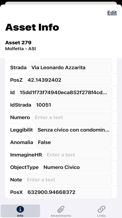
SmartCity3D AR is an application that integrates with the SmartCity3D platform. After registering on the platform, users can access project data, including layers, assets, and all related information such as details, attachments, and links.
App Screenshots


App Store Description
SmartCity3D AR is an application that integrates with the SmartCity3D platform. After registering on the platform, users can access project data, including layers, assets, and all related information such as details, attachments, and links.
Once logged in, users can select the desired project from those available and will be redirected to the map view. Here, they can view markers representing the assets in the project, with each marker's icon representing a different layer of the project.
By performing a long tap on the map, users have the option to create a new marker after selecting a specific layer as the container.
Furthermore, by simply tapping on the desired marker, users can access information related to that specific asset, including details, attachments, and links.
Using the dedicated button in the toolbar, the user can switch between the map and augmented reality measurement tools. By selecting these tools, they will be given the ability to trace distances, perimeters, and areas in the AR environment.
In essence, SmartCity3D AR provides users with an intuitive way to explore and interact with project data in an augmented reality context, facilitating understanding and management of urban resources and assets.
Disclaimer:
AppAdvice does not own this application and only provides images and links contained in the iTunes Search API, to help our users find the best apps to download. If you are the developer of this app and would like your information removed, please send a request to takedown@appadvice.com and your information will be removed.
AppAdvice does not own this application and only provides images and links contained in the iTunes Search API, to help our users find the best apps to download. If you are the developer of this app and would like your information removed, please send a request to takedown@appadvice.com and your information will be removed.