You are using an outdated browser. Please
upgrade your browser to improve your experience.
The States and Capitals - Geography Study Unit presents maps of the United States to help students learn the names and locations of states and their capitals

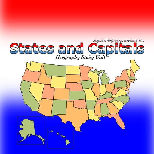
States & Capitals Study Unit
by Ventura Educational Systems


What is it about?
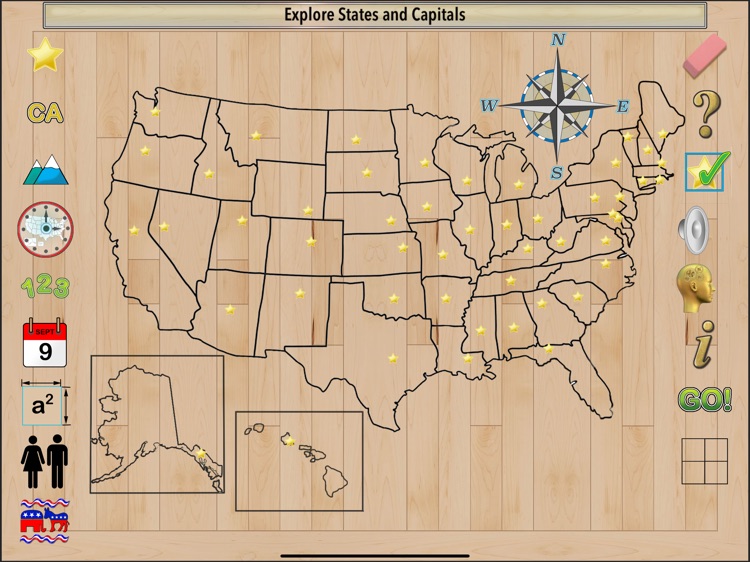
The States and Capitals - Geography Study Unit presents maps of the United States to help students learn the names and locations of states and their capitals. This colorful app provides a variety of activities and presents information about each state including postal abbreviation, highest point, time zone, date admitted to the union, area in square miles and square kilometers, population and the number of electoral votes. A game-like quiz challenges students to match a state with its capital. Another game randomly selects a state and asks the student to location the capital on a map.
App Screenshots

App Store Description
The States and Capitals - Geography Study Unit presents maps of the United States to help students learn the names and locations of states and their capitals. This colorful app provides a variety of activities and presents information about each state including postal abbreviation, highest point, time zone, date admitted to the union, area in square miles and square kilometers, population and the number of electoral votes. A game-like quiz challenges students to match a state with its capital. Another game randomly selects a state and asks the student to location the capital on a map.
Information presented while using the app:
Name
Capital
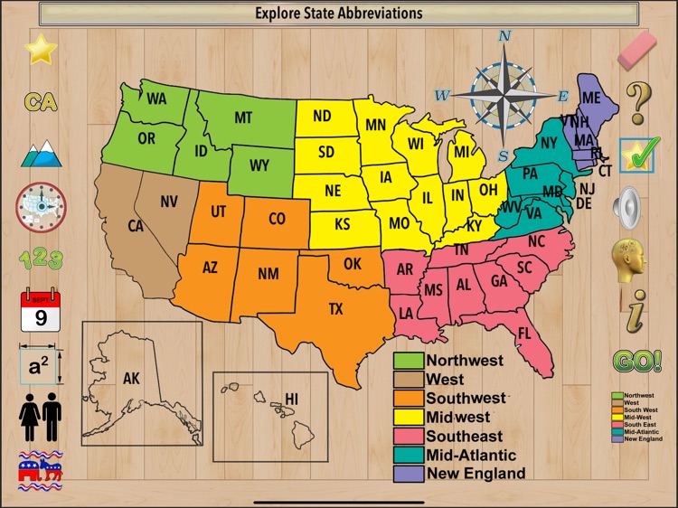
Postal Abbreviation
Highest Point
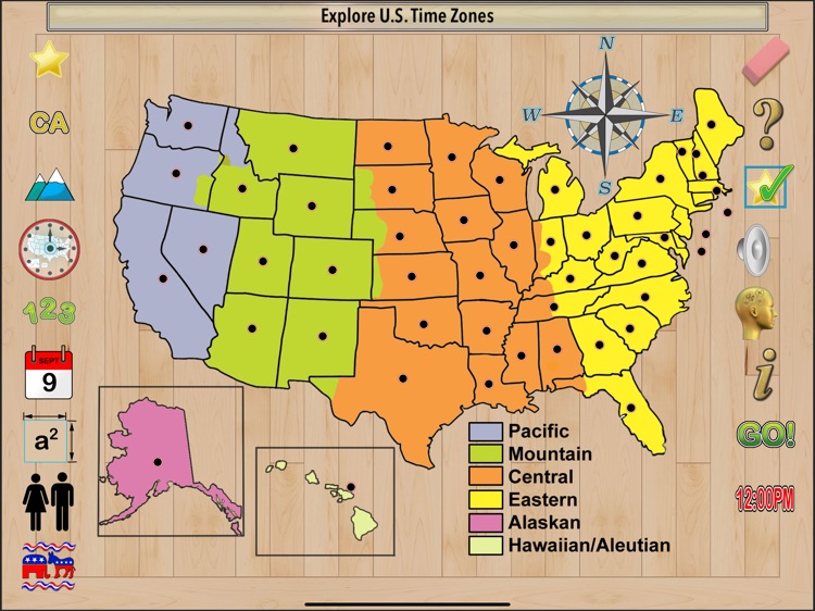
Time Zone
Date Admitted to the Union
Area in Square Miles and Square Kilometers
Population
Number of Electoral Votes.
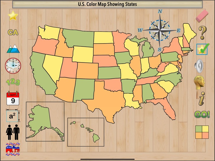
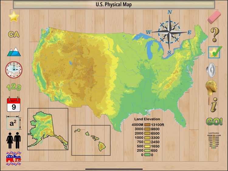
Maps presented in the app:
Black Line
Color Map Showing States
Land Elevation
Time Zones
Geographical Regions
Available for iPadOS.
Disclaimer:
AppAdvice does not own this application and only provides images and links contained in the iTunes Search API, to help our users find the best apps to download. If you are the developer of this app and would like your information removed, please send a request to takedown@appadvice.com and your information will be removed.
AppAdvice does not own this application and only provides images and links contained in the iTunes Search API, to help our users find the best apps to download. If you are the developer of this app and would like your information removed, please send a request to takedown@appadvice.com and your information will be removed.