You are using an outdated browser. Please
upgrade your browser to improve your experience.
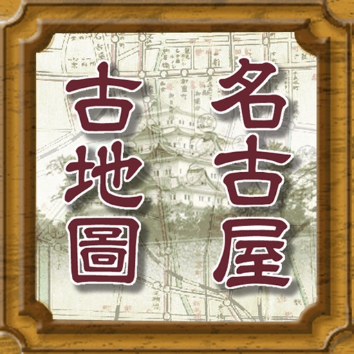
Stroly - Nagoya is a great app for iPhone users to enjoy the high definition historic map images

Stroly - Nagoya
by Stroly Inc.


What is it about?
Stroly - Nagoya is a great app for iPhone users to enjoy the high definition historic map images.
Stroly is $13.99 but there are more add-ons
-
$0.99
名古屋並熱田絵図 [江戸時代中頃(18世紀)]
App Screenshots

App Store Description
Stroly - Nagoya is a great app for iPhone users to enjoy the high definition historic map images.
You can see your location on the historic maps.
There will be upgrades of the app with more maps in the future.
* The iPhone 3G is not supported, please do not update.
[OVERVIEW]
"Stroly" is the series of apps which features the display of the user's current location on any kinds of historical or illustrated maps.
"Stroly" means "to stroll around" in Japanese. Please enjoy strolling around with this app.
Stroly fully supports Retina Display graphics.
You can enjoy clear maps with an iPhone 4.
Add maps
・In-App Purchase $0.99
- Ancient map of Nagoya and Atsuta (18th century)
・Free
- Map of Nagoya (late 18th century - early 19th century)
List of maps
- 1/20000 Toographic map around Nagoya (Publiced in 1893, Surveyed in 1891)
- Map of Nagoya (1909)
- Map of Greater Nagoya (1937)
- Map of Nagoya (1944)
- Map of Nagoya (1959, ALPS Mapping)
- Detailed map of central Nagoya (1959, ALPS Mapping)
- Map of suburban Nagoya (1959, ALPS Mapping)
[App Features]
The user's current location shows up on a variety of historical maps Indicated current location moves, which provides the users with the experience of strolling around in historical maps. By touching a landmark icon displayed on the map, the user could get information of historical sites around. Stroly - Nagoya has a variety of maps classified by the areas, users could enjoy regional historical maps.The historical maps can be switched to Internet Maps.
【NOTICE】
1. Stroly shows your location using GPS. Using Stroly on iPod
Touch or iPad WiFi might not show accurate current position.
2. We cannot guarantee 100% accuracy of the maps and locations because
of the distortion of the original maps and the GPS accuracy. We would
like you to enjoy the original uncertainty of the historical maps.
3. We have no intention of violating human rights by disclosing the
historical maps.
Disclaimer:
AppAdvice does not own this application and only provides images and links contained in the iTunes Search API, to help our users find the best apps to download. If you are the developer of this app and would like your information removed, please send a request to takedown@appadvice.com and your information will be removed.
AppAdvice does not own this application and only provides images and links contained in the iTunes Search API, to help our users find the best apps to download. If you are the developer of this app and would like your information removed, please send a request to takedown@appadvice.com and your information will be removed.