You are using an outdated browser. Please
upgrade your browser to improve your experience.

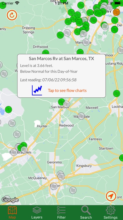
Texas Traveler shows you the current status of major roads and highways throughout the state

Texas Traveler
by John Stump


What is it about?
Texas Traveler shows you the current status of major roads and highways throughout the state. By accessing Texas Department of Transportation extensive road data, you can view traffic cameras, read alerts about construction and other road-related issues, get stats from weather stations, and read roadside signboard messages. You can also view flood stations and their current status around the whole state, as well as those numerous historical markers you've always been meaning to stop and read. Also available is Google Traffic, to show you how congested the roads are in real time.
Texas Traveler is FREE but there are more add-ons
-
$1.99
San Antonio Area Flood Stations
-
$0.99
Historical Markers
-
$2.99
Remove Ads
App Screenshots


App Store Description
Texas Traveler shows you the current status of major roads and highways throughout the state. By accessing Texas Department of Transportation extensive road data, you can view traffic cameras, read alerts about construction and other road-related issues, get stats from weather stations, and read roadside signboard messages. You can also view flood stations and their current status around the whole state, as well as those numerous historical markers you've always been meaning to stop and read. Also available is Google Traffic, to show you how congested the roads are in real time.
All of this is displayed on a map with ease of use for panning and zooming. Only interested in certain areas? You can define your own regions and quickly view them, or use one of the several predefined areas.
Disclaimer:
AppAdvice does not own this application and only provides images and links contained in the iTunes Search API, to help our users find the best apps to download. If you are the developer of this app and would like your information removed, please send a request to takedown@appadvice.com and your information will be removed.
AppAdvice does not own this application and only provides images and links contained in the iTunes Search API, to help our users find the best apps to download. If you are the developer of this app and would like your information removed, please send a request to takedown@appadvice.com and your information will be removed.