You are using an outdated browser. Please
upgrade your browser to improve your experience.
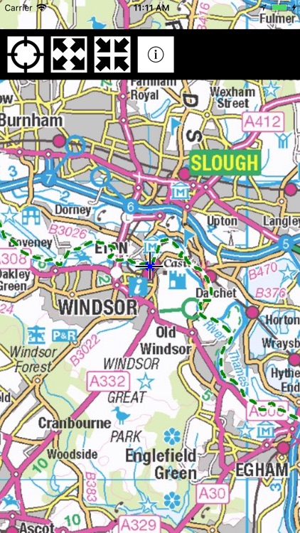
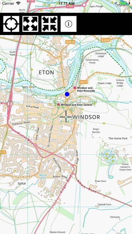
The map shows the entire route of the Thames Path National Trail in four different scales of Ordnance Survey maps:

Thames Path Map Lite
by Paul Johnson
What is it about?
The map shows the entire route of the Thames Path National Trail in four different scales of Ordnance Survey maps:
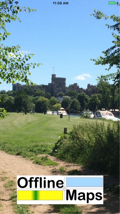
App Screenshots
App Store Description
The map shows the entire route of the Thames Path National Trail in four different scales of Ordnance Survey maps:
OS Minscale (1:1M)
OS 1:125,000
OS Vector District (1:25,000)
OS Open Map – Local (1:10,000)
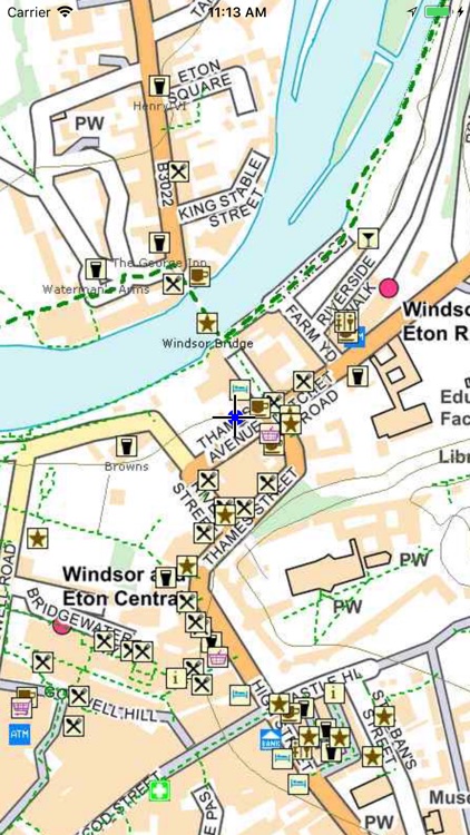
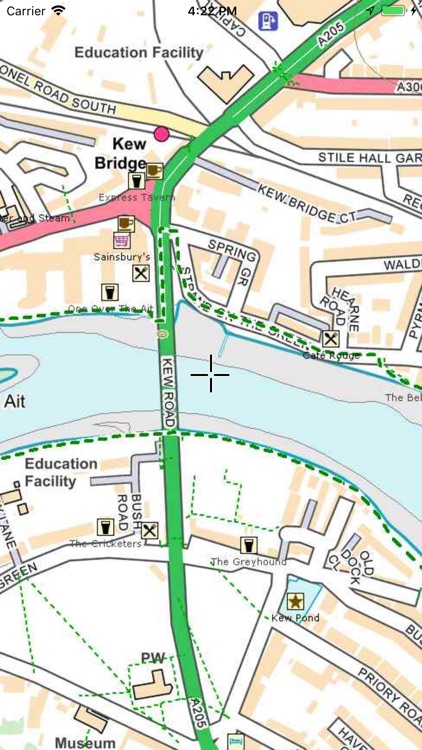
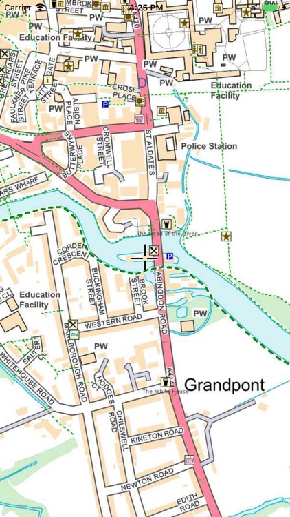
The detailed maps are overlaid with a 1km grid and OS 10m contours and with the very latest Open Streetmap (OSM) data, making it an invaluable walking companion.
Once loaded, the entire map is held on your device and requires no further access to the Internet – it even works in Airplane mode.
Your own location is shown and the Thames Path is highlighted in thick green dashed lines. Other footpaths (not necessarily public rights of way) are shown in narrow green dashed lines.
The area within 4km of the path is shown in detail overlaid with OSM data including street names, footpaths, pubs, restaurants, hotels, shops, toilets, ATMs, Post Offices, locks, pharmacies, and points of interest. Many of these are labelled.
The region outside the 4km is shown in less detail but can still be used as an offline map of the entire Thames Valley.
Tap the map once to toggle the function keys on/off.
Pinch to zoom in/out.
The map contains Ordnance Survey data ©Crown copyright and database right 2018 and vector data ©OpenStreetMap contributors. Data is available under the Open Database Licence, see www.openstreetmap.org/copyright.
Disclaimer:
AppAdvice does not own this application and only provides images and links contained in the iTunes Search API, to help our users find the best apps to download. If you are the developer of this app and would like your information removed, please send a request to takedown@appadvice.com and your information will be removed.
AppAdvice does not own this application and only provides images and links contained in the iTunes Search API, to help our users find the best apps to download. If you are the developer of this app and would like your information removed, please send a request to takedown@appadvice.com and your information will be removed.