You are using an outdated browser. Please
upgrade your browser to improve your experience.
Nautical Charts map is a boating charts viewer which provides un-quilted NOAA nautical charts

US Nautical Charts – Boating
by Vishwam B
What is it about?
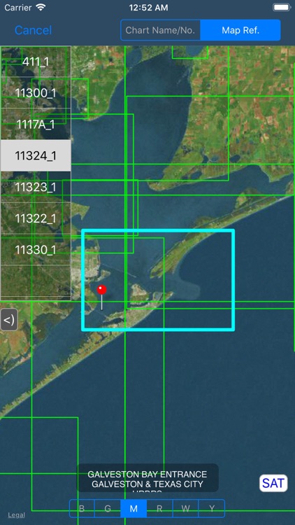
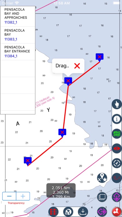
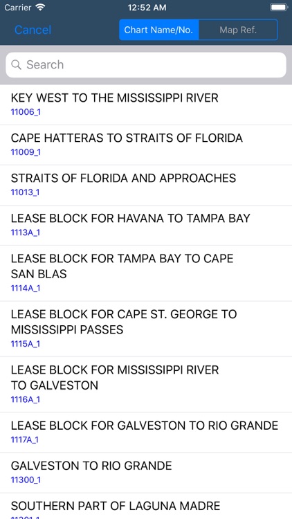
Nautical Charts map is a boating charts viewer which provides un-quilted NOAA nautical charts. These charts contain crucial information for sailors and boaters. These charts are representation of navigational features such as land areas, water depths, contours, dredged areas, un-surveyed areas, obstructions, anchoring areas, buoys, beacons, lights, signal stations, rocks, wrecks, port & harbour channels, seabeds, pile points, under water power & pipelines, radar stations, marinas, towers, silos and hundreds of standard navigation symbols and aids that are useful for navigation as reference.
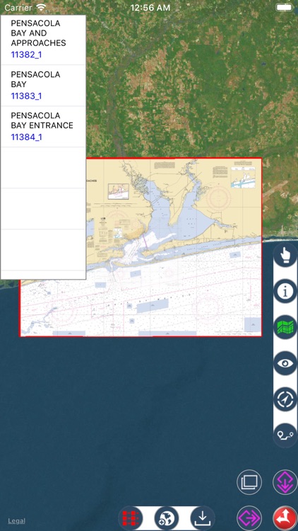
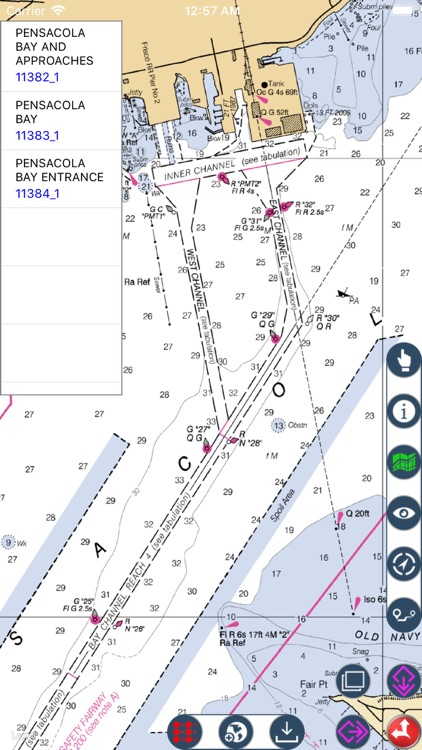
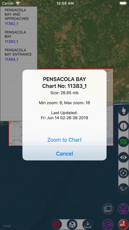
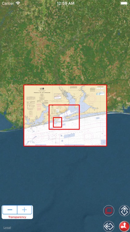
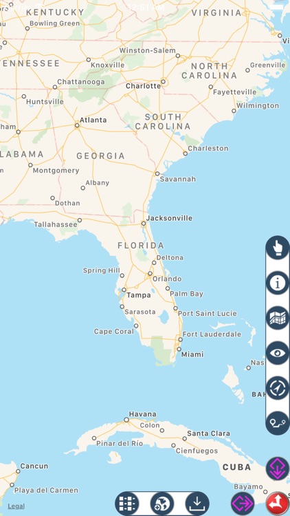
App Screenshots
App Store Description
Nautical Charts map is a boating charts viewer which provides un-quilted NOAA nautical charts. These charts contain crucial information for sailors and boaters. These charts are representation of navigational features such as land areas, water depths, contours, dredged areas, un-surveyed areas, obstructions, anchoring areas, buoys, beacons, lights, signal stations, rocks, wrecks, port & harbour channels, seabeds, pile points, under water power & pipelines, radar stations, marinas, towers, silos and hundreds of standard navigation symbols and aids that are useful for navigation as reference.
• Download & Store desired charts for any region.
• Charts available for full NOAA coverage.
• View stored Nautical charts Offline.
• Load multiple charts at once.
• Auto assigns seamless boundary for all loaded charts.
• Get details of Nautical charts.
• Draw Waypoints Route. Move, Save, Reload & Email options.
• Zoom to any loaded chart with a finger click.
• Set Transparency and compare Map & Nautical chart overlay.
• Background downloading for larger sized charts.
• Search Nautical charts by name or chart number if user is aware.
• Chart Sequence reference. Highlights Selected Charts.
• Manage desired colour to chart sequence for visibility.
• Turn On/Off chart boundaries at user convenience.
• Get list of chart names covered on a finger tap location.
• Get co-ordinate of any map point.
• Map user guide and disclaimer.
• Set desired Map Type for chart overlays.
• GPS to show and update user current location.
• Update to latest charts without app. update.
Disclaimer:
AppAdvice does not own this application and only provides images and links contained in the iTunes Search API, to help our users find the best apps to download. If you are the developer of this app and would like your information removed, please send a request to takedown@appadvice.com and your information will be removed.
AppAdvice does not own this application and only provides images and links contained in the iTunes Search API, to help our users find the best apps to download. If you are the developer of this app and would like your information removed, please send a request to takedown@appadvice.com and your information will be removed.