You are using an outdated browser. Please
upgrade your browser to improve your experience.
The Vision Zero View web application displays New York City traffic crash injury and fatality data, speed limits for all of the city’s streets, Vision Zero outreach program locations, and street safety construction projects

Vision Zero View
by New York City Department of Transportation

What is it about?
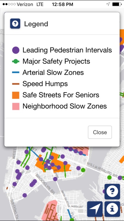
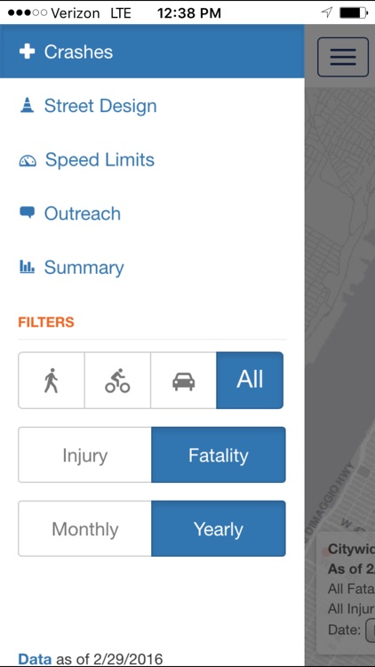
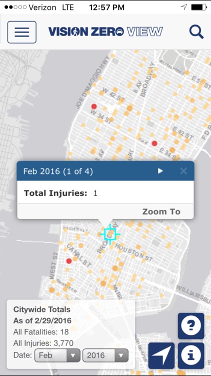
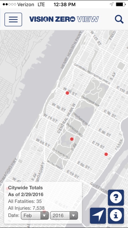
The Vision Zero View web application displays New York City traffic crash injury and fatality data, speed limits for all of the city’s streets, Vision Zero outreach program locations, and street safety construction projects. Detailed information for all of the displayed feature sets can be viewed within the application. Crash data is categorized by mode of transportation, and is grouped by year and by month. The summary view displays demographic data, traffic crash injuries and fatalities, and Vision Zero initiatives grouped by city council districts, community districts, and police precincts. The application provides a search tool to locate street addresses or intersections, a geo location button to find the user’s current location, and zoom/pan map functionality. All of the displayed data is publicly available in open geographic data formats, and can be downloaded through a link to the NYCDOT data feed page that is given in the application.
App Screenshots
App Store Description
The Vision Zero View web application displays New York City traffic crash injury and fatality data, speed limits for all of the city’s streets, Vision Zero outreach program locations, and street safety construction projects. Detailed information for all of the displayed feature sets can be viewed within the application. Crash data is categorized by mode of transportation, and is grouped by year and by month. The summary view displays demographic data, traffic crash injuries and fatalities, and Vision Zero initiatives grouped by city council districts, community districts, and police precincts. The application provides a search tool to locate street addresses or intersections, a geo location button to find the user’s current location, and zoom/pan map functionality. All of the displayed data is publicly available in open geographic data formats, and can be downloaded through a link to the NYCDOT data feed page that is given in the application.
Disclaimer:
AppAdvice does not own this application and only provides images and links contained in the iTunes Search API, to help our users find the best apps to download. If you are the developer of this app and would like your information removed, please send a request to takedown@appadvice.com and your information will be removed.
AppAdvice does not own this application and only provides images and links contained in the iTunes Search API, to help our users find the best apps to download. If you are the developer of this app and would like your information removed, please send a request to takedown@appadvice.com and your information will be removed.