You are using an outdated browser. Please
upgrade your browser to improve your experience.

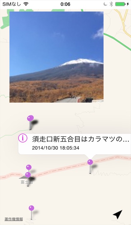
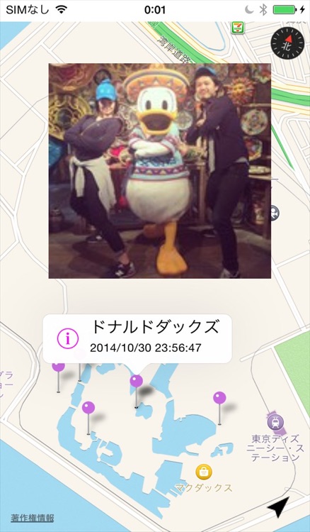
インスタマップは地図からInstagramの写真を検索できるアプリです。地図をロングタップするとそこから半径5以内の写真を見ることができます。

インスタマップ
by Kazuhiko Uno
What is it about?
インスタマップは地図からInstagramの写真を検索できるアプリです。地図をロングタップするとそこから半径5以内の写真を見ることができます。
App Store Description
インスタマップは地図からInstagramの写真を検索できるアプリです。地図をロングタップするとそこから半径5以内の写真を見ることができます。
使いかた
1.地図上でロングタップする
(サムネイル表示)
2.サムネイルをタップ
(写真表示)
3.DONEボタンをタップ
(タイムライン表示)
・現在地ボタンタップで現在地表示。
※写真はドラッグできます。
Disclaimer:
AppAdvice does not own this application and only provides images and links contained in the iTunes Search API, to help our users find the best apps to download. If you are the developer of this app and would like your information removed, please send a request to takedown@appadvice.com and your information will be removed.
AppAdvice does not own this application and only provides images and links contained in the iTunes Search API, to help our users find the best apps to download. If you are the developer of this app and would like your information removed, please send a request to takedown@appadvice.com and your information will be removed.