You are using an outdated browser. Please
upgrade your browser to improve your experience.
AGRIplot allows you to plot any area on a map

AGRIplot
by SharpeTech
What is it about?
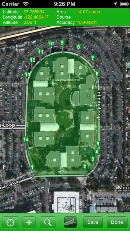
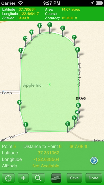
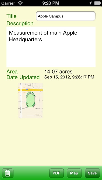
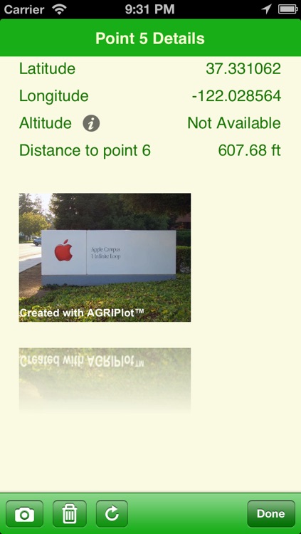
AGRIplot allows you to plot any area on a map. Simply walk around your property and add a landmark point, or drag and drop pins anywhere on the map. AGRIplot will automatically calculate the area enclosed by the points and provide the distances between each point. Interest points allow you to identify additional features for your plot. You can even take pictures associated with each landmark or interest point for a visual representation. Share your plot with the option to email a PDF or KML version of the plot information. Now supports importing KML files.
App Details
Version
3.0.5
Rating
(30)
Size
32Mb
Genre
Utilities Navigation
Last updated
August 19, 2015
Release date
May 2, 2011
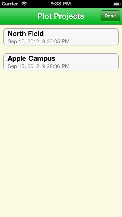
App Screenshots
App Store Description
AGRIplot allows you to plot any area on a map. Simply walk around your property and add a landmark point, or drag and drop pins anywhere on the map. AGRIplot will automatically calculate the area enclosed by the points and provide the distances between each point. Interest points allow you to identify additional features for your plot. You can even take pictures associated with each landmark or interest point for a visual representation. Share your plot with the option to email a PDF or KML version of the plot information. Now supports importing KML files.
Email questions or feedback to support@sharpetech.net.
Disclaimer:
AppAdvice does not own this application and only provides images and links contained in the iTunes Search API, to help our users find the best apps to download. If you are the developer of this app and would like your information removed, please send a request to takedown@appadvice.com and your information will be removed.
AppAdvice does not own this application and only provides images and links contained in the iTunes Search API, to help our users find the best apps to download. If you are the developer of this app and would like your information removed, please send a request to takedown@appadvice.com and your information will be removed.