You are using an outdated browser. Please
upgrade your browser to improve your experience.
The Alberta Township System (ATS) is a land surveying system used in the Canadian province of Alberta and other parts of western Canada

Alberta Township Converter
by Port Side Signals Inc.

What is it about?
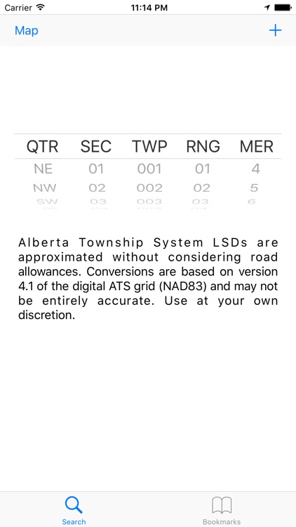
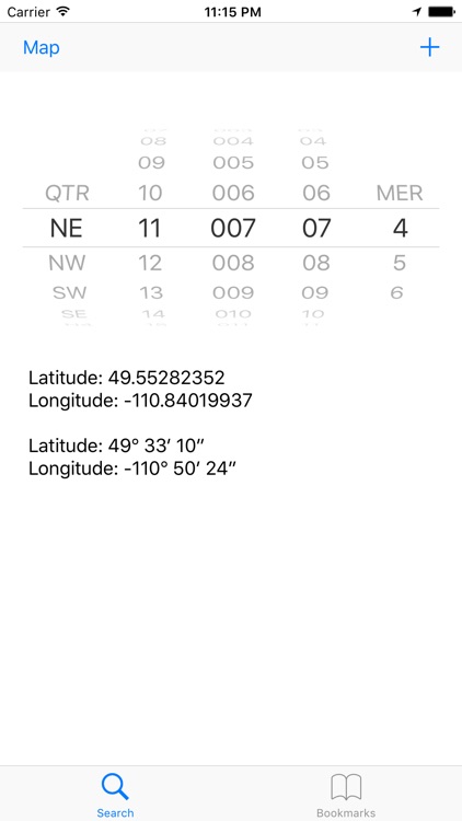
The Alberta Township System (ATS) is a land surveying system used in the Canadian province of Alberta and other parts of western Canada. This is a simple and intuitive conversion tool for the Alberta Township System land survey system into latitude/longitude coordinates based off version 4.1 of the North American Datum from 1983 (nad83). Incredibly useful for finding properties, wells, and other important sites in Western Canada.
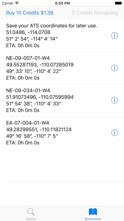
App Screenshots
App Store Description
The Alberta Township System (ATS) is a land surveying system used in the Canadian province of Alberta and other parts of western Canada. This is a simple and intuitive conversion tool for the Alberta Township System land survey system into latitude/longitude coordinates based off version 4.1 of the North American Datum from 1983 (nad83). Incredibly useful for finding properties, wells, and other important sites in Western Canada.
The conversion between ATS and latitude/longitude works offline. Offline conversion does not require Network Connectivity or Internet Access. Maps require Internet access at the moment.
Newly added is the quick ability to determine travel time between the current location and the bookmarked coordinate. This feature requires Internet Access/Network Connectivity. Each quick query uses a single credit. 10 Credits can be purchased at a time. The travel time between yourself and the bookmarked coordinates may be useful for finding the closest target location.
Although we strive to be completely accurate with conversions and travel times, there may be errors during the conversion process and the travel times may not be reliable. Please use the application at your own risk.
Disclaimer:
AppAdvice does not own this application and only provides images and links contained in the iTunes Search API, to help our users find the best apps to download. If you are the developer of this app and would like your information removed, please send a request to takedown@appadvice.com and your information will be removed.
AppAdvice does not own this application and only provides images and links contained in the iTunes Search API, to help our users find the best apps to download. If you are the developer of this app and would like your information removed, please send a request to takedown@appadvice.com and your information will be removed.