You are using an outdated browser. Please
upgrade your browser to improve your experience.
ArcGIS Mission Responder is the mobile app that enables users in the field to participate in active missions as part of Esri’s ArcGIS Mission product

ArcGIS Responder 11
by ESRI
What is it about?
ArcGIS Mission Responder is the mobile app that enables users in the field to participate in active missions as part of Esri’s ArcGIS Mission product.
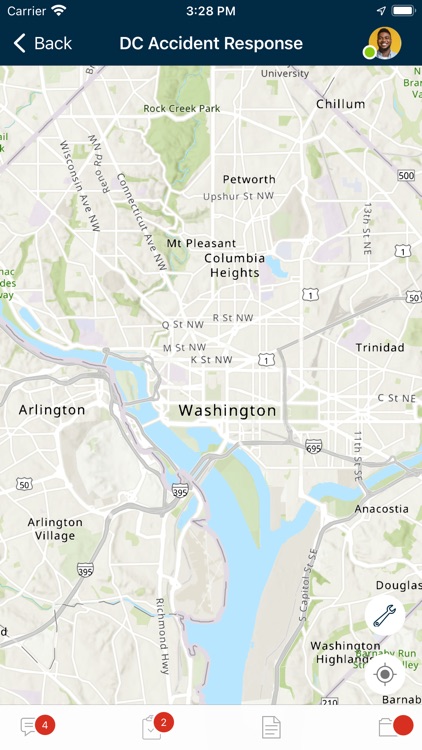
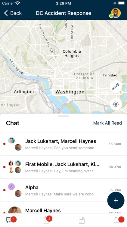
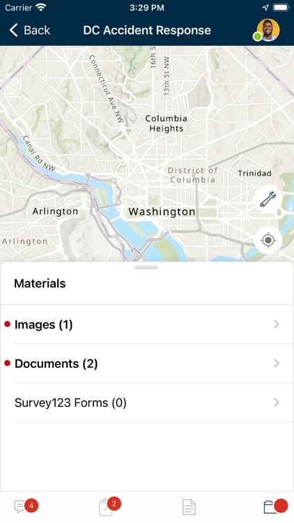
App Screenshots


App Store Description
ArcGIS Mission Responder is the mobile app that enables users in the field to participate in active missions as part of Esri’s ArcGIS Mission product.
ArcGIS Mission is a focused, tactical situational awareness solution that is fully integrated with Esri’s market leading ArcGIS Enterprise product. ArcGIS Mission allows organizations to create, share, and operate in missions using integrated maps, teams, and other mission related materials like photographs, documents, map products, and other information types. ArcGIS Mission is designed to provide organizations with a real-time view of their common operating picture using location sharing, whether the app is in the foreground or background, and provides remote, mobile users with situational understanding to be able to answer the question, “What’s going on around me right now?”.
As the mobile component of ArcGIS Mission, Responder is the mobile app that enables operators to maintain communications and collaboration with their teammates as well as others in support of, and participating in, the mission through real time messaging and reporting.
Key Features:
- Chat messages that allow text, attachments, and sketches (A map markup)
- Secure, protected connection to ArcGIS Enterprise
- View and participate in active missions of ArcGIS Enterprise
- View, interact and explore mission maps, layers and other resources
- Send instant messages to other users, teams and all mission participants
- Receive, view, and respond to user-specific tasks
- Use an optimized report form to create and view reports from the field
- Create simple map sketches to communicate and collaborate with other mission participants
- Real-time location sharing for situational awareness
Note: Continued use of GPS running in the background can dramatically decrease battery life.
Disclaimer:
AppAdvice does not own this application and only provides images and links contained in the iTunes Search API, to help our users find the best apps to download. If you are the developer of this app and would like your information removed, please send a request to takedown@appadvice.com and your information will be removed.
AppAdvice does not own this application and only provides images and links contained in the iTunes Search API, to help our users find the best apps to download. If you are the developer of this app and would like your information removed, please send a request to takedown@appadvice.com and your information will be removed.