You are using an outdated browser. Please
upgrade your browser to improve your experience.

The app Archaeo|Rur is a multimedia guide and explains the history of the Rureifel region from the Celts to the Second World War

Archaeo|Rur
by planlauf GmbH
What is it about?
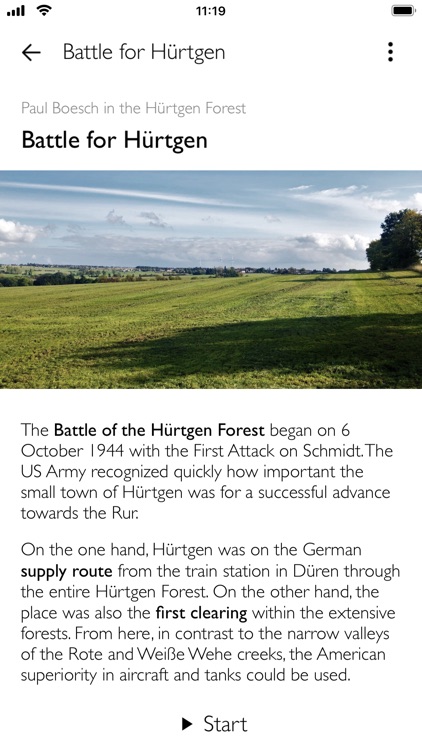
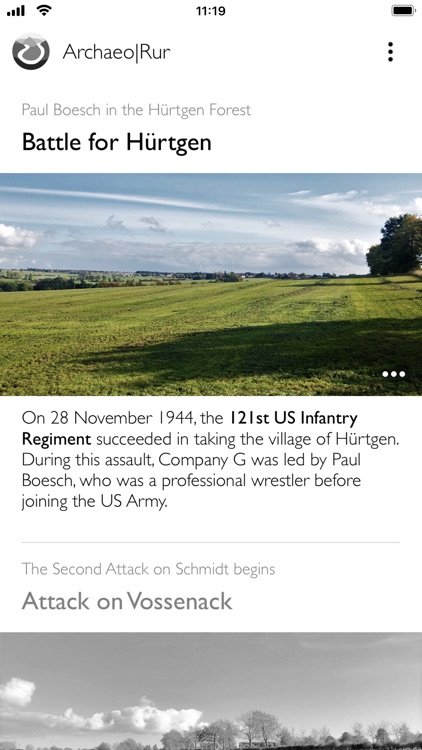
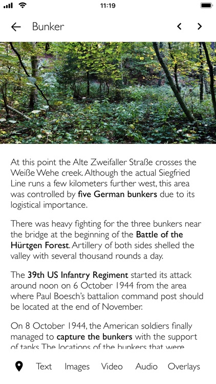
The app Archaeo|Rur is a multimedia guide and explains the history of the Rureifel region from the Celts to the Second World War. Above all, the Battle of the Hürtgen Forest left traces in the landscape that are still visible today. With the help of photos, videos and historical aerial imagery, the violent history of today's peaceful landscape can be experienced. After an initial download of the route data, ideally via WiFi, the app no longer needs a connection on the go.
App Screenshots
App Store Description
The app Archaeo|Rur is a multimedia guide and explains the history of the Rureifel region from the Celts to the Second World War. Above all, the Battle of the Hürtgen Forest left traces in the landscape that are still visible today. With the help of photos, videos and historical aerial imagery, the violent history of today's peaceful landscape can be experienced. After an initial download of the route data, ideally via WiFi, the app no longer needs a connection on the go.
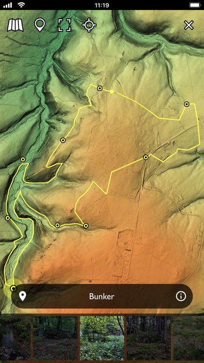
The LiDAR terrain model makes structures visible that are otherwise difficult to see under trees and bushes. From an airplane, the earth's surface is scanned with laser beams. Some of the laser beams penetrate the canopy in wooded areas and reach the ground. With a complex calculation process, trees and houses can then be removed and a terrain model is created. The LiDAR data used here was collected by the state of North Rhine-Westphalia and is available as open data.
Disclaimer:
AppAdvice does not own this application and only provides images and links contained in the iTunes Search API, to help our users find the best apps to download. If you are the developer of this app and would like your information removed, please send a request to takedown@appadvice.com and your information will be removed.
AppAdvice does not own this application and only provides images and links contained in the iTunes Search API, to help our users find the best apps to download. If you are the developer of this app and would like your information removed, please send a request to takedown@appadvice.com and your information will be removed.